Reunion_21.12S_55.51E.jpg

Size of this preview:
698 × 599 pixels
.
Other resolutions:
280 × 240 pixels
|
559 × 480 pixels
|
894 × 768 pixels
|
1,192 × 1,024 pixels
|
2,385 × 2,048 pixels
|
3,223 × 2,768 pixels
.
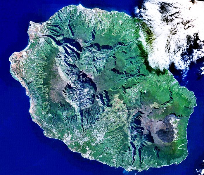
Réunion 21.12S, 55.51E
|
|
This image is in the
public domain
because it is a screenshot from
NASA
’s globe software
World Wind
using a public domain layer, such as Blue Marble, MODIS, Landsat, SRTM, USGS or GLOBE.
|

|