Reversed_Earth_map_1000x500.jpg
Size of this preview:
800 × 400 pixels
.
Other resolutions:
320 × 160 pixels
|
640 × 320 pixels
|
1,000 × 500 pixels
.
Summary
| Description |
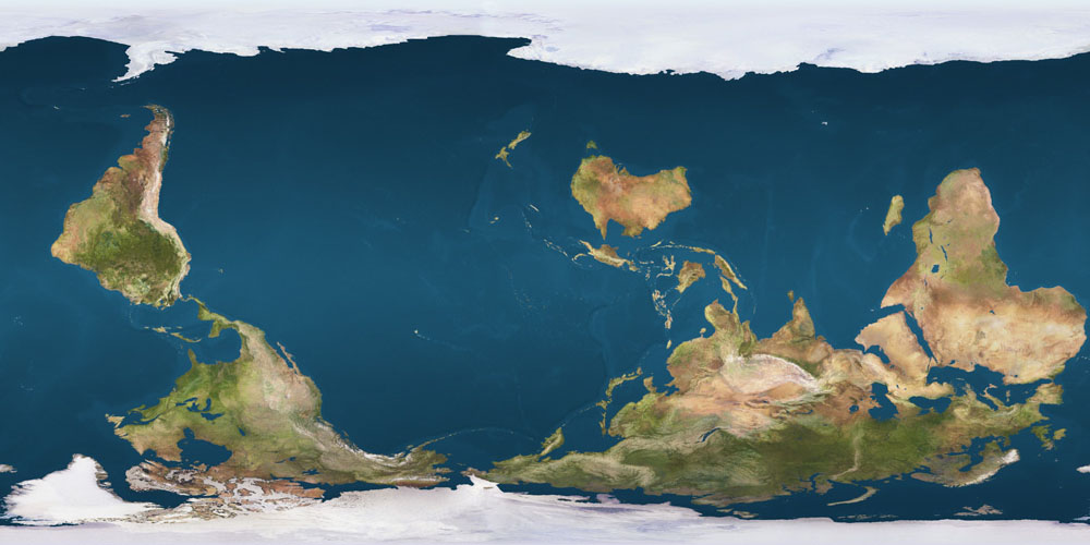
Deutsch:
Eine aus Satellitenaufnahmen zusammengefügte, nach Süden ausgerichtete Weltkarte (Zylinderprojektion) mit Australien in priviligierter Position. Solche Darstellungen gehen auf die 1979 erschienene
McArthur’s Universal Corrective Map of the World
zurück
English:
Reversed Earth map - resolution 1000 x 500 pixels
|
| Date | 03/10/2008 |
| Source | self-made, from Image:Earthmap1000x500compac.jpg |
| Author | Poulpy , from a work by jimht at shaw dot ca, modified by Rodrigocd |
|
Permission
( Reusing this file ) |
planetpixelemporium.com (internet archive) |
Licensing
|
|
I, the copyright holder of this work, release this work into the
public domain
. This applies worldwide.
In some countries this may not be legally possible; if so: I grant anyone the right to use this work for any purpose , without any conditions, unless such conditions are required by law. |