Rhône.jpg

Size of this preview:
800 × 600 pixels
.
Other resolutions:
320 × 240 pixels
|
640 × 480 pixels
|
1,024 × 768 pixels
|
1,280 × 960 pixels
|
2,560 × 1,920 pixels
|
7,952 × 5,964 pixels
.
Summary
| Description |
English:
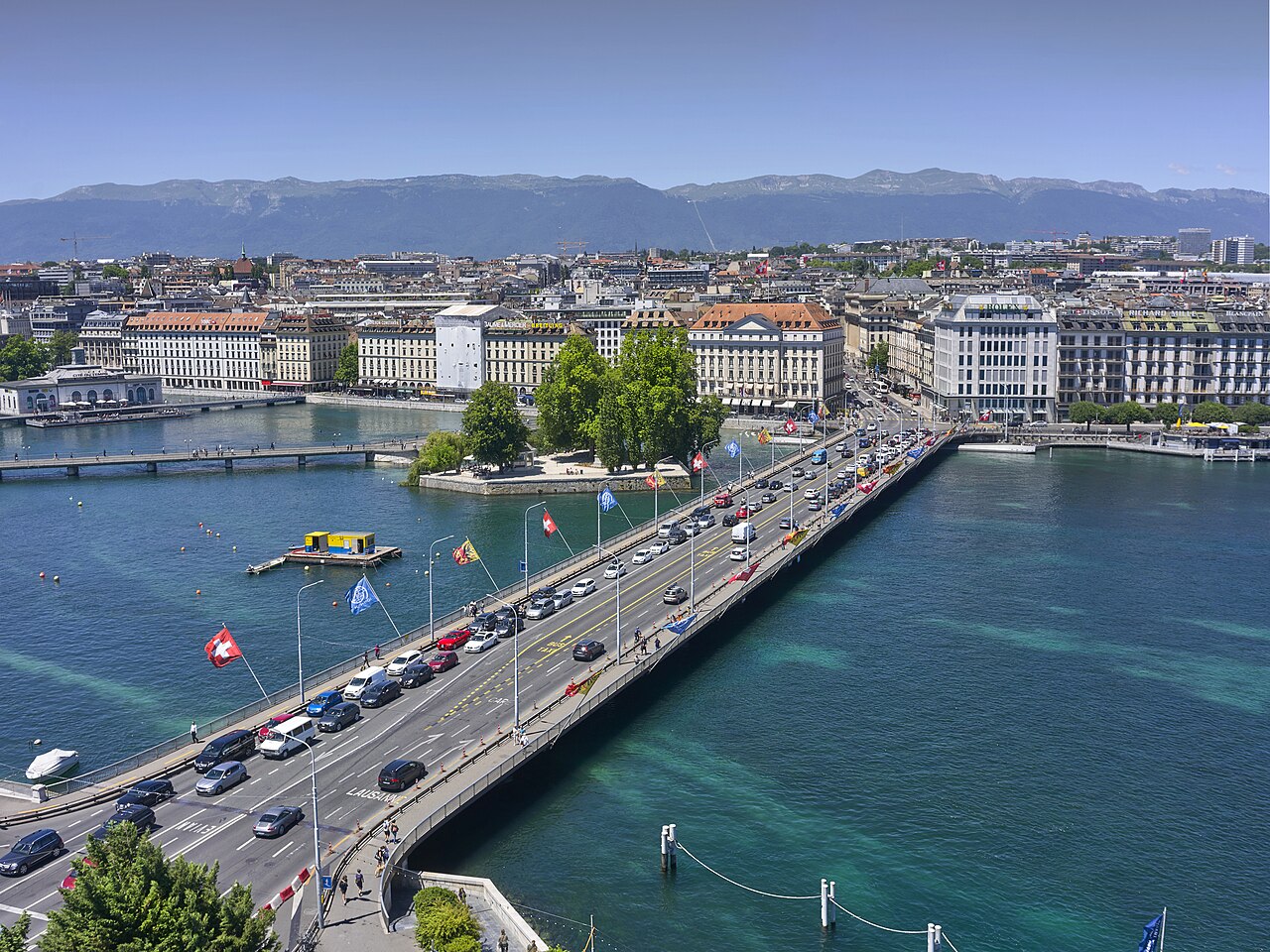
Pont du Mont-Blanc is an iconic bridge in Geneva that materializes the end of the lake (to the right), and the re-start of the river Rhône (to the left). The current bridge has been bult in 1902, and replaces a bridge buitl in 1862. The length of the bridge is 252 meters.
|
| Date | |
| Source | https://www.flickr.com/photos/93319057@N07/42310499404/ |
| Author | Xavier |
| Camera location |
|
View this and other nearby images on: OpenStreetMap |
|
|---|
Licensing
This file is licensed under the
Creative Commons
Attribution 2.0 Generic
license.
-
You are free:
- to share – to copy, distribute and transmit the work
- to remix – to adapt the work
-
Under the following conditions:
- attribution – You must give appropriate credit, provide a link to the license, and indicate if changes were made. You may do so in any reasonable manner, but not in any way that suggests the licensor endorses you or your use.
|
|
This image was originally posted to Flickr by Karl Le Gros at https://flickr.com/photos/93319057@N07/42310499404 . It was reviewed on 9 April 2021 by FlickreviewR 2 and was confirmed to be licensed under the terms of the cc-by-2.0. |