Rietveld-SchroderhuisUtrechttheNetherlands.jpg
Size of this preview:
748 × 600 pixels
.
Other resolutions:
300 × 240 pixels
|
599 × 480 pixels
|
958 × 768 pixels
|
1,277 × 1,024 pixels
|
2,420 × 1,940 pixels
.
| Description |
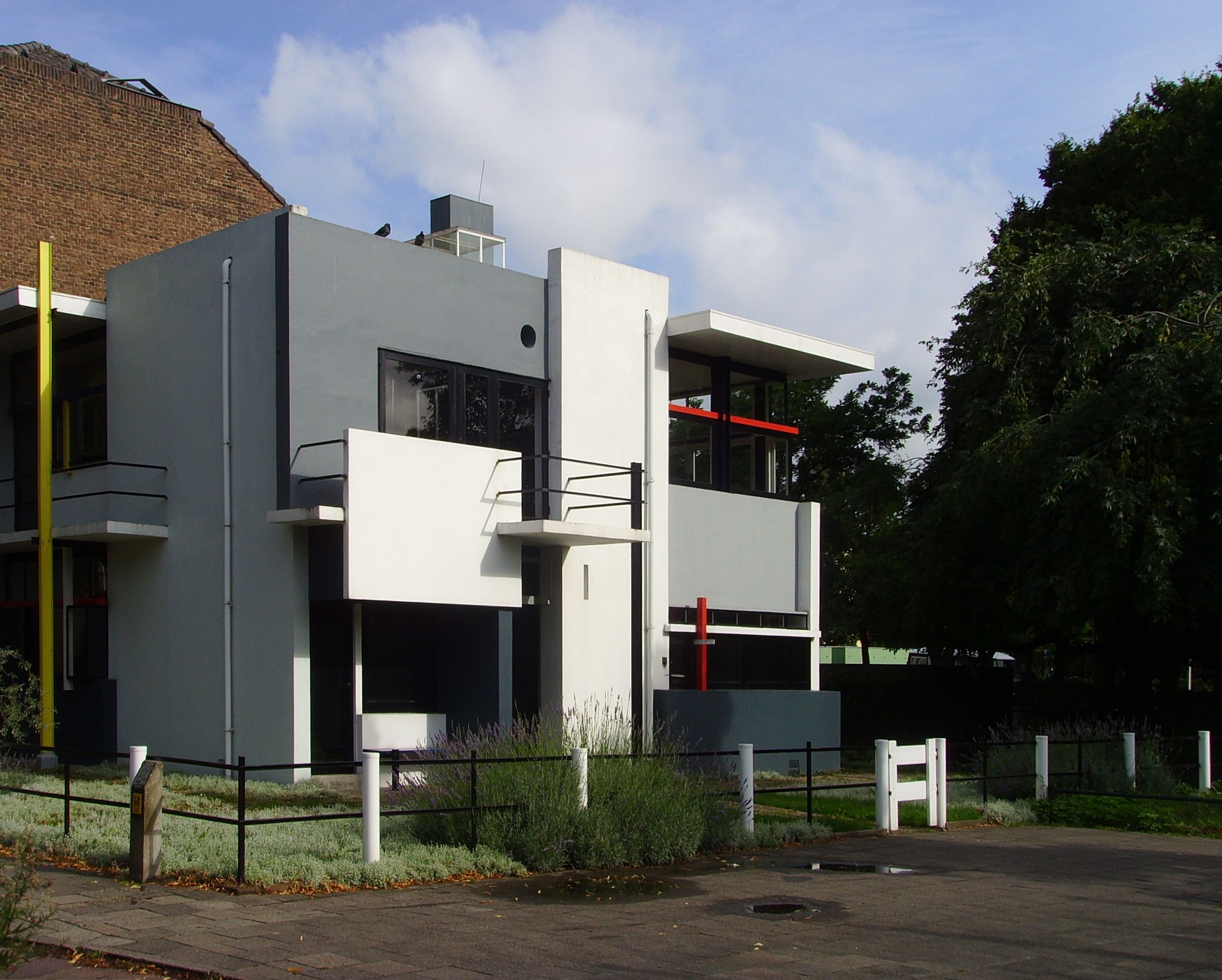
Nederlands:
Het
nl:Rietveld-Schröderhuis
in Utrecht vanaf de Prins Hendriklaan
|
||||
| Date | (UTC) | ||||
| Source | |||||
| Author |
|
|
|
This is a
retouched picture
, which means that it has been digitally altered from its original version. Modifications:
Tweaked levels, corrected the perspective, cropped the image and added more contrast, saturation and sharpness
. The original can be viewed here:
Rietveld-Schröderhuis.jpg
:
|
I, the copyright holder of this work, hereby publish it under the following license:
|
|
I, the copyright holder of this work, release this work into the
public domain
. This applies worldwide.
In some countries this may not be legally possible; if so: I grant anyone the right to use this work for any purpose , without any conditions, unless such conditions are required by law. |
Original upload log
This image is a derivative work of the following images:
-
File:Rietveld-Schröderhuis.jpg
licensed with PD-self
- 2008-07-22T23:45:02Z Luctor 2816x2112 (2891897 Bytes) {{Information |Description={{nl|Het [[:nl:Rietveld-Schröderhuis]] in Utrecht vanaf de Prins Hendriklaan}} {{location|52|5|6.80021816450278|N|5|8|51.74257278442383|E}} |Source=Eigen werk |Date=22 juli 2008 |Author=[[User:
Uploaded with derivativeFX