Ringsaker_kirke.jpg

Size of this preview:
485 × 600 pixels
.
Other resolutions:
194 × 240 pixels
|
388 × 480 pixels
|
621 × 768 pixels
|
828 × 1,024 pixels
|
1,400 × 1,731 pixels
.
|
|
This is a photo of a monument in Norway, number:
85297
in the
Norwegian Directorate for Cultural Heritage
database.
|
Summary
| Camera location |
|
View this and other nearby images on: OpenStreetMap |
|
|---|
| Description |
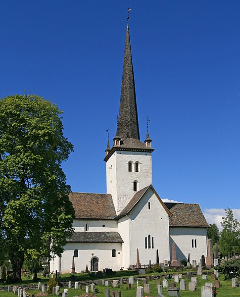
Norsk bokmål:
Ringsaker kirke
|
| Date | |
| Source | Own work |
| Author | Mahlum |
Licensing
|
|
I, the copyright holder of this work, release this work into the
public domain
. This applies worldwide.
In some countries this may not be legally possible; if so: I grant anyone the right to use this work for any purpose , without any conditions, unless such conditions are required by law. |