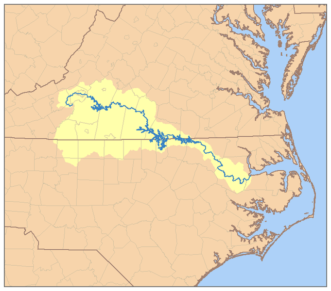
RoanokeRiverWatershed.png

Size of this preview:
681 × 600 pixels
.
Other resolutions:
272 × 240 pixels
|
545 × 480 pixels
|
765 × 674 pixels
.
Summary
| Description | This is a map of the Roanoke River watershed. I, Pfly , made it, based on USGS data. |
| Date | |
| Source | Own work |
| Author | Pfly |
|
Permission
( Reusing this file ) |
I, the copyright holder of this work, hereby publish it under the following license:
This file is licensed under the
Creative Commons
Attribution-Share Alike 2.5 Generic
license.
|