Rottnest_Island.jpg
Size of this preview:
800 × 399 pixels
.
Other resolutions:
320 × 159 pixels
|
857 × 427 pixels
.
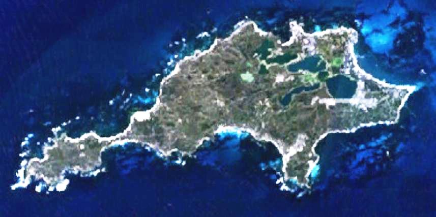
| Description | This is a map of the Rottnest Island, Western Australia. | |||
| Source | It was made by the uploader using NASA World Wind using Landsat 7 data. | |||
| Author | Created by the uploader. Any IP involved in the creation of this image is released into the public domain. | |||
|
Permission
( Reusing this file ) |
|
