Russia_USA_Locator_(Crimea_disputed).svg

Size of this PNG preview of this SVG file:
800 × 411 pixels
.
Other resolutions:
320 × 164 pixels
|
640 × 329 pixels
|
1,024 × 526 pixels
|
1,280 × 657 pixels
|
2,560 × 1,314 pixels
|
863 × 443 pixels
.

Summary
| Description |
English:
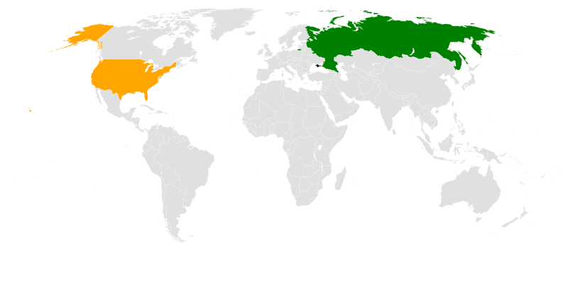
Locator map for bilateral relations between Russia and the United States (Crimea shown as disputed territory)
|
| Date | |
| Source | Own derivative from File:BlankMap-World6.svg |
| Author |
Canuckguy
(
talk
)
and many others (original file, see
original file history
)
Seryo93 (derivative) |
| Other versions |
|

Licensing
|
|
I, the copyright holder of this work, release this work into the
public domain
. This applies worldwide.
In some countries this may not be legally possible; if so: I grant anyone the right to use this work for any purpose , without any conditions, unless such conditions are required by law. |