SBC_exterior.jpg
No higher resolution available.
Summary
| Description |
English:
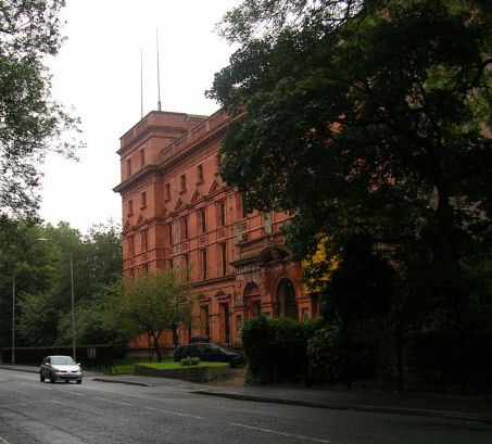
Whalley Range. Looking south down Alexandra Road South with St Bede's College on the right.
|
| Date | |
| Source | Image was cropped from File:Whalley Range - geograph.org.uk - 59648.jpg . Transferred from en.wikipedia to Commons. |
| Author | Keith Williamson |
|
Attribution
( required by the license ) |
Keith Williamson / Whalley Range / |
| Object location |
|
View this and other nearby images on: OpenStreetMap |
|
|---|
_&language=en)
Licensing
This file is licensed under the
Creative Commons
Attribution-Share Alike 2.0 Generic
license.
Attribution:
Keith Williamson
-
You are free:
- to share – to copy, distribute and transmit the work
- to remix – to adapt the work
-
Under the following conditions:
- attribution – You must give appropriate credit, provide a link to the license, and indicate if changes were made. You may do so in any reasonable manner, but not in any way that suggests the licensor endorses you or your use.
- share alike – If you remix, transform, or build upon the material, you must distribute your contributions under the same or compatible license as the original.
Original upload log
The original description page was
here
. All following user names refer to en.wikipedia.
- 2006-06-13 23:53 Casper Gutman 453×409× (54090 bytes) ==Licensing== {{cc-by-sa-2.0}} Image was cropped from an original obtained from https://www.geograph.org.uk/photo/59648, where it was made available under a Creative Commons license by the photographer, [https://www.geograph.org.uk/profile.php?u=104 Keith W