SD-CountyMap.jpg
Size of this preview:
800 × 490 pixels
.
Other resolutions:
320 × 196 pixels
|
640 × 392 pixels
|
847 × 519 pixels
.
Summary
Description SD-CountyMap.jpg |
English:
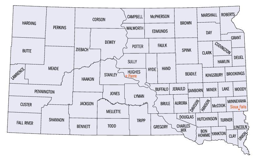
Map of South Dakota counties.
|
Source | https://web.archive.org/web/20050204100123/http://www.fedstats.gov/qf/maps/south_dakota_map.html |
Author | United States Census Bureau |
This image was
uploaded
in the
JPEG
format even though it
consists of non-photographic data
. This information could be stored more efficiently or accurately in the
PNG
or
SVG
format.
If possible, please upload a PNG or SVG version of this image without
compression artifacts
, derived from a non-JPEG source (or with existing artifacts
removed
). After doing so, please tag the JPEG version with
{{Superseded|NewImage.ext}}
and remove this tag. This tag should not be applied to photographs or scans. If this image is a diagram or other image suitable for
vectorisation
, please tag this image with
{{Convert to SVG}}
instead of
{{BadJPEG}}
. If not suitable for vectorisation, use
{{Convert to PNG}}
. For more information, see
{{BadJPEG}}
.
|
Licensing
Public domain Public domain false false |
This image or file is a work of a
United States Census Bureau
employee, taken or made as part of that person's official duties. As a
work
of the
U.S. federal government
, the image is in the
public domain
.
English ∙ español ∙ 日本語 ∙ македонски ∙ മലയാളം ∙ português do Brasil ∙ русский ∙ українська ∙ +/− |