Sea_Gate_aerial_view.jpg
Size of this preview:
800 × 534 pixels
.
Other resolutions:
320 × 214 pixels
|
640 × 428 pixels
|
1,024 × 684 pixels
|
1,500 × 1,002 pixels
.
| Description |
English:
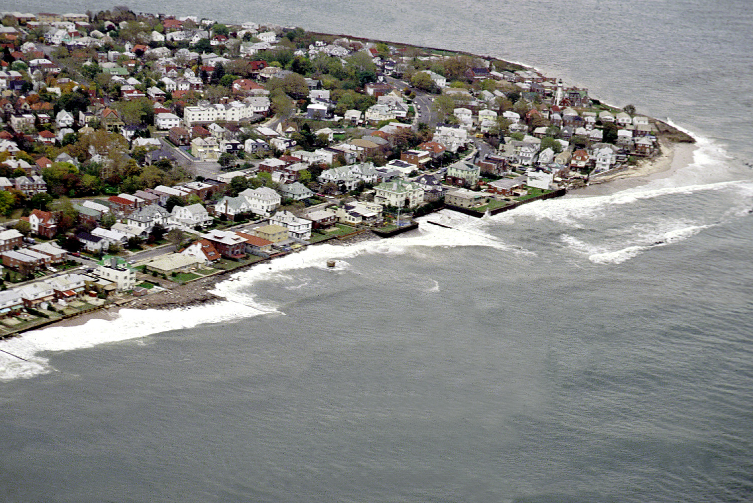
Aerial view of the Sea Gate community located on the westernmost extremity of Coney Island, Brooklyn, New York City.
|
|||
| Date | ||||
| Source |
U.S. Army Corps of Engineers Digital Visual Library
Image page Image description page Digital Visual Library home page |
|||
| Author | U.S. Army Corps of Engineers, photographer not specified or unknown | |||
|
Permission
( Reusing this file ) |
|
|||
| Location | Brooklyn, New York City, New York, USA |
| Object location |
|
View this and other nearby images on: OpenStreetMap |
|
|---|