SeychellesBIOT1970.jpg
No higher resolution available.
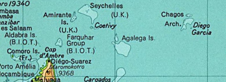
Map of the Seychelles and British Indian Ocean Territory prior to 1976. From the National Atlas as mirrored by the PCL .
|
|
This map was obtained from an edition of the
National Atlas of the United States
. Like almost all works of the U.S. federal government, works from the
National Atlas
are in the
public domain
in the United States.
Online access: NationalAtlas.gov | 1970 print edition: Library of Congress , Perry-Castañeda Library
|
|
This map was cropped from there.