Sigmaringen_Schloss_2015-04-29_15-52-34.jpg
Size of this preview:
800 × 406 pixels
.
Other resolutions:
320 × 162 pixels
|
640 × 324 pixels
|
1,024 × 519 pixels
|
1,280 × 649 pixels
|
2,560 × 1,298 pixels
|
7,979 × 4,045 pixels
.
Summary
| Description |
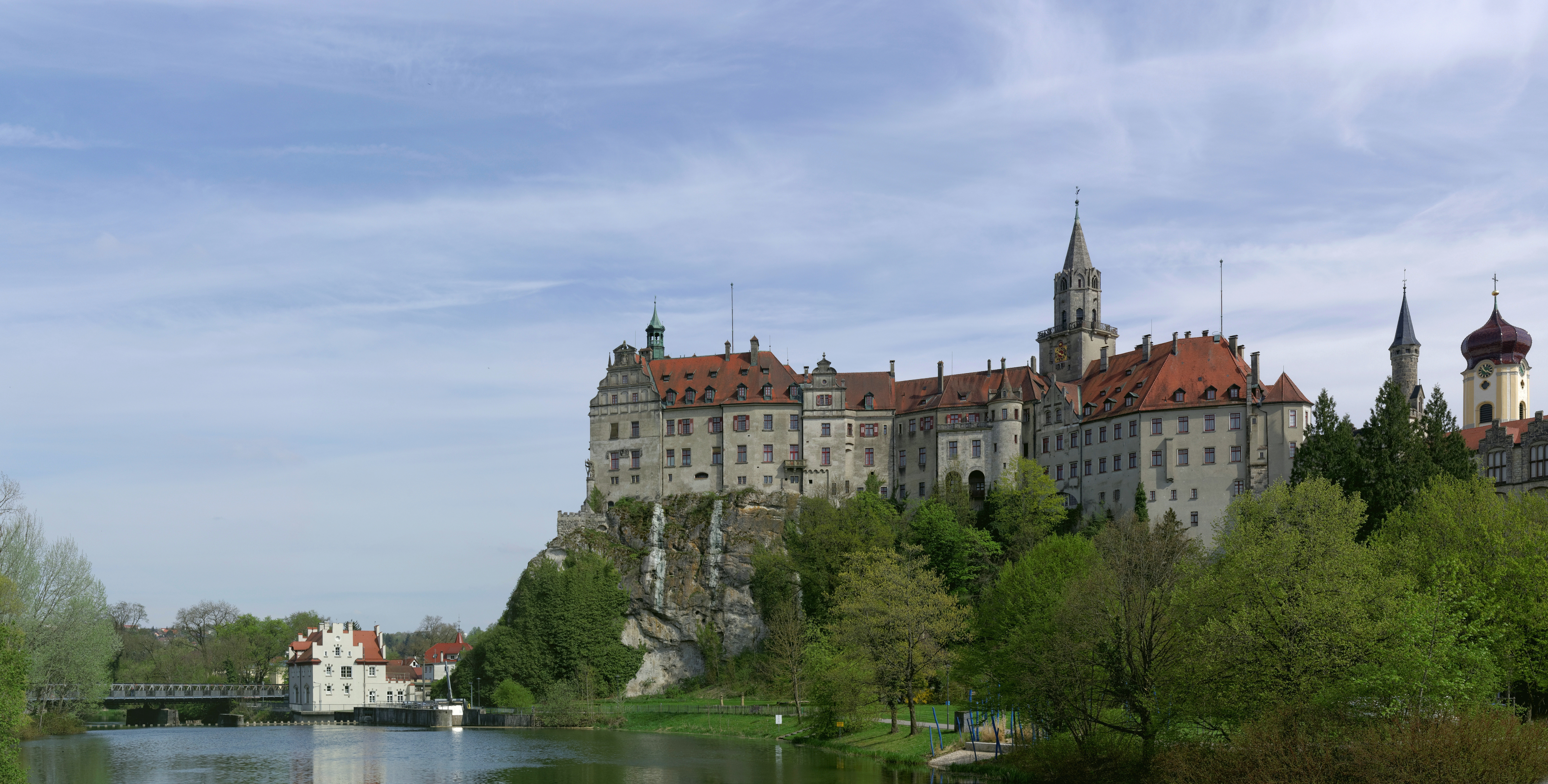
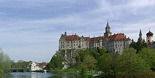
Deutsch:
Schloss Sigmaringen, auch Hohenzollernschloss
|
| Date | |
| Source | Own work |
| Author | Berthold Werner |
| Other versions | http://www.bildindex.de/document/obj20017121?medium=fm820350 |
| Camera location |
|
View this and other nearby images on: OpenStreetMap |
|
|---|
Licensing
I, the copyright holder of this work, hereby publish it under the following license:
This file is licensed under the
Creative Commons
Attribution-Share Alike 4.0 International
license.
-
You are free:
- to share – to copy, distribute and transmit the work
- to remix – to adapt the work
-
Under the following conditions:
- attribution – You must give appropriate credit, provide a link to the license, and indicate if changes were made. You may do so in any reasonable manner, but not in any way that suggests the licensor endorses you or your use.
- share alike – If you remix, transform, or build upon the material, you must distribute your contributions under the same or compatible license as the original.

|
This image was uploaded as part of
Wiki Loves Monuments 2015
.
|
|
|
|
This image has been assessed using the
Quality image guidelines
and is considered a
Quality image
.
|
| This image is a former valued image on Wikimedia Commons within the scope : Sigmaringen castle, view from northwest . You can see the original nomination and demotion here . |