Simplified_Languages_of_Europe_map.svg

Size of this PNG preview of this SVG file:
737 × 599 pixels
.
Other resolutions:
295 × 240 pixels
|
590 × 480 pixels
|
945 × 768 pixels
|
1,259 × 1,024 pixels
|
2,519 × 2,048 pixels
|
1,541 × 1,253 pixels
.
Summary
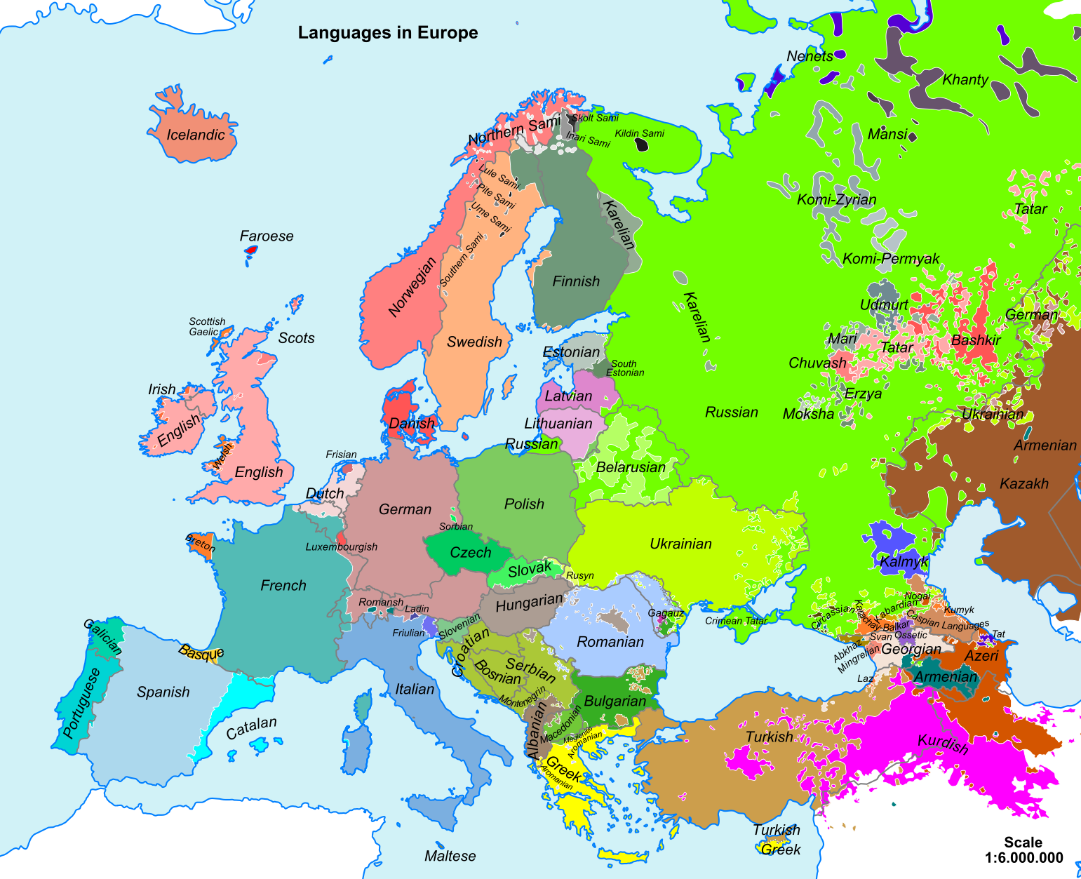
| Description | Map of main European languages simplified by following national borders in many cases. The map does not reflect the fact that many regions are bilingual, officially and/or in practice. In some cases, the area indicated for a language reflects where some of its speakers live but not necessarily where they form the majority of the population. |
| Date | 22 November 2008 (original upload date) |
| Source |
Own work Sources for data:
|
| Author |
See below. /
[
]
By language codes: SVG, jpg, png; English: SVG , simplified SVG , rectified PNG ; Esperanto 1 , 2 , 3 , français , македонскиעברית |
| SVG development |

Licensing
|
|
I, the copyright holder of this work, release this work into the
public domain
. This applies worldwide.
In some countries this may not be legally possible; if so: I grant anyone the right to use this work for any purpose , without any conditions, unless such conditions are required by law. |