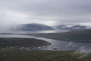
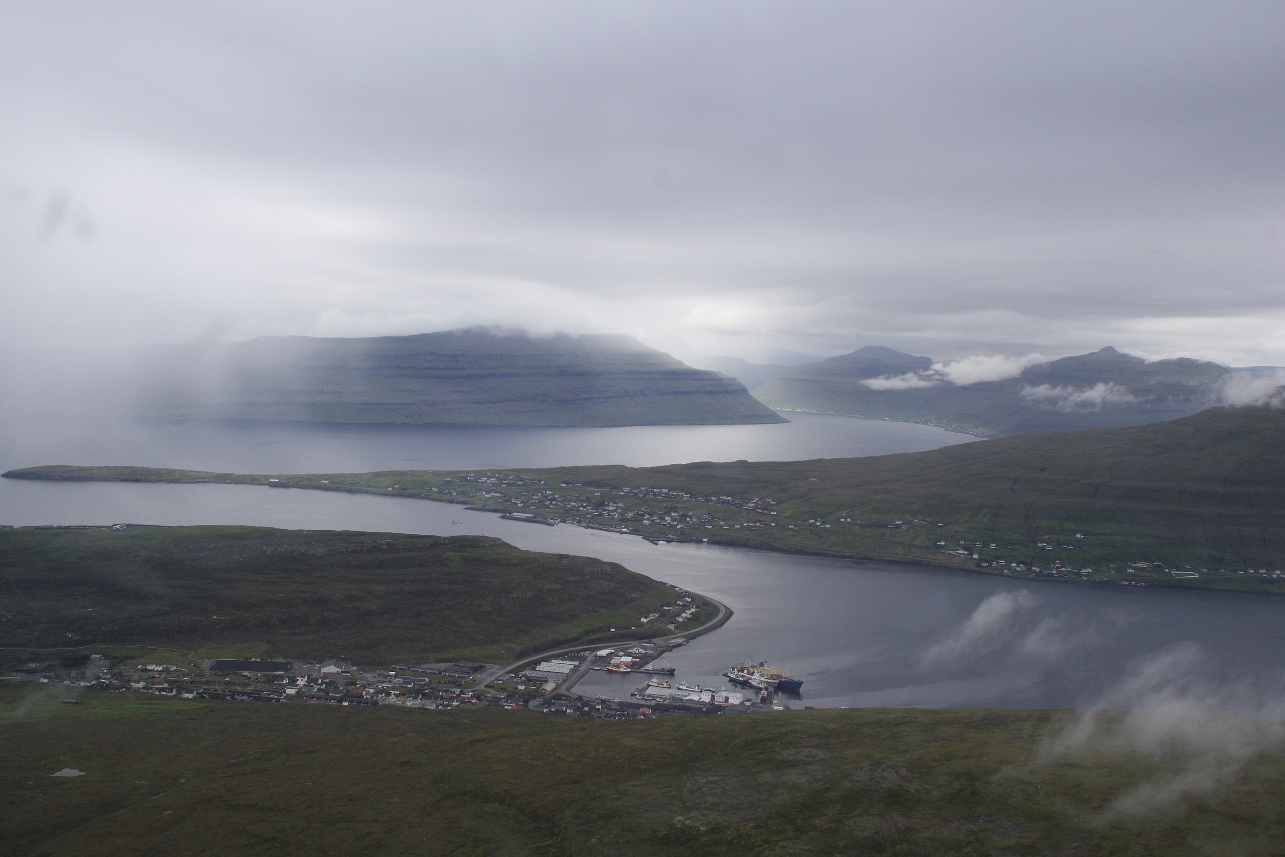
Skálafjørður_and_Tangafjørður.jpg

Size of this preview:
800 × 533 pixels
.
Other resolutions:
320 × 213 pixels
|
640 × 427 pixels
|
1,024 × 683 pixels
|
1,280 × 853 pixels
|
2,560 × 1,707 pixels
|
3,888 × 2,592 pixels
.
Summary
| Description |
English:
Overlooking the Skálafjørður (foregrond, with Runavík and Strendur), Tangafjørður (centre) and Kollafjørður (background). Facing the northwest while flying over Southern Eysturoy.
|
| Date | |
| Source | Own work |
| Author | Rennohokwerda1 |
| Object location |
|
View this and other nearby images on: OpenStreetMap |
|
|---|
Licensing
I, the copyright holder of this work, hereby publish it under the following license:
This file is licensed under the
Creative Commons
Attribution-Share Alike 4.0 International
license.
-
You are free:
- to share – to copy, distribute and transmit the work
- to remix – to adapt the work
-
Under the following conditions:
- attribution – You must give appropriate credit, provide a link to the license, and indicate if changes were made. You may do so in any reasonable manner, but not in any way that suggests the licensor endorses you or your use.
- share alike – If you remix, transform, or build upon the material, you must distribute your contributions under the same or compatible license as the original.