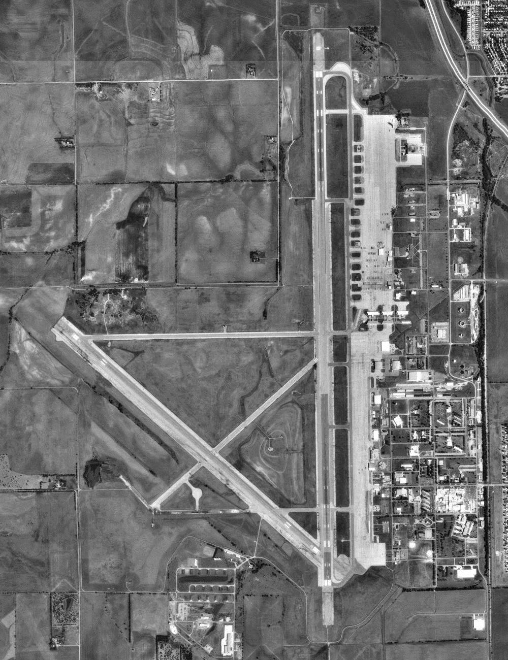
Smokyhillaaf-08171991.jpg
Size of this preview:
461 × 599 pixels
.
Other resolutions:
184 × 240 pixels
|
369 × 480 pixels
|
1,000 × 1,300 pixels
.
Summary
| Description |
English:
USGS
orthophoto
of
Salina Municipal Airport
, formerly
Schilling Air Force Base
and Smoky Hill Air Force Base, in Kansas, United States
|
| Date | |
| Source |
USGS The National Map , via MSR Maps (formerly TerraServer-USA) |
| Author | United States Geological Survey (USGS) |
|
Permission
( Reusing this file ) |
Public domain |
| Object location |
|
View this and other nearby images on: OpenStreetMap |
|
|---|
Licensing
|
|
This image is in the
public domain
in the United States because it only contains materials that originally came from the
United States Geological Survey
, an agency of the
United States Department of the Interior
. For more information, see
the official USGS copyright policy
.
|
|
Original upload log
The original description page was
here
. All following user names refer to en.wikipedia.
- 2007-12-13 11:43 Bwmoll3 400×475×8 (65598 bytes) Smoky Hill AFB, Kansas 17 August 1991 Source: United States Geological Survey digital orthophotoquad via TerraService WebMap Server