Snoqualmie_Ridge_aerial_01A.jpg
Size of this preview:
669 × 600 pixels
.
Other resolutions:
268 × 240 pixels
|
536 × 480 pixels
|
857 × 768 pixels
|
1,142 × 1,024 pixels
|
1,892 × 1,696 pixels
.
Summary
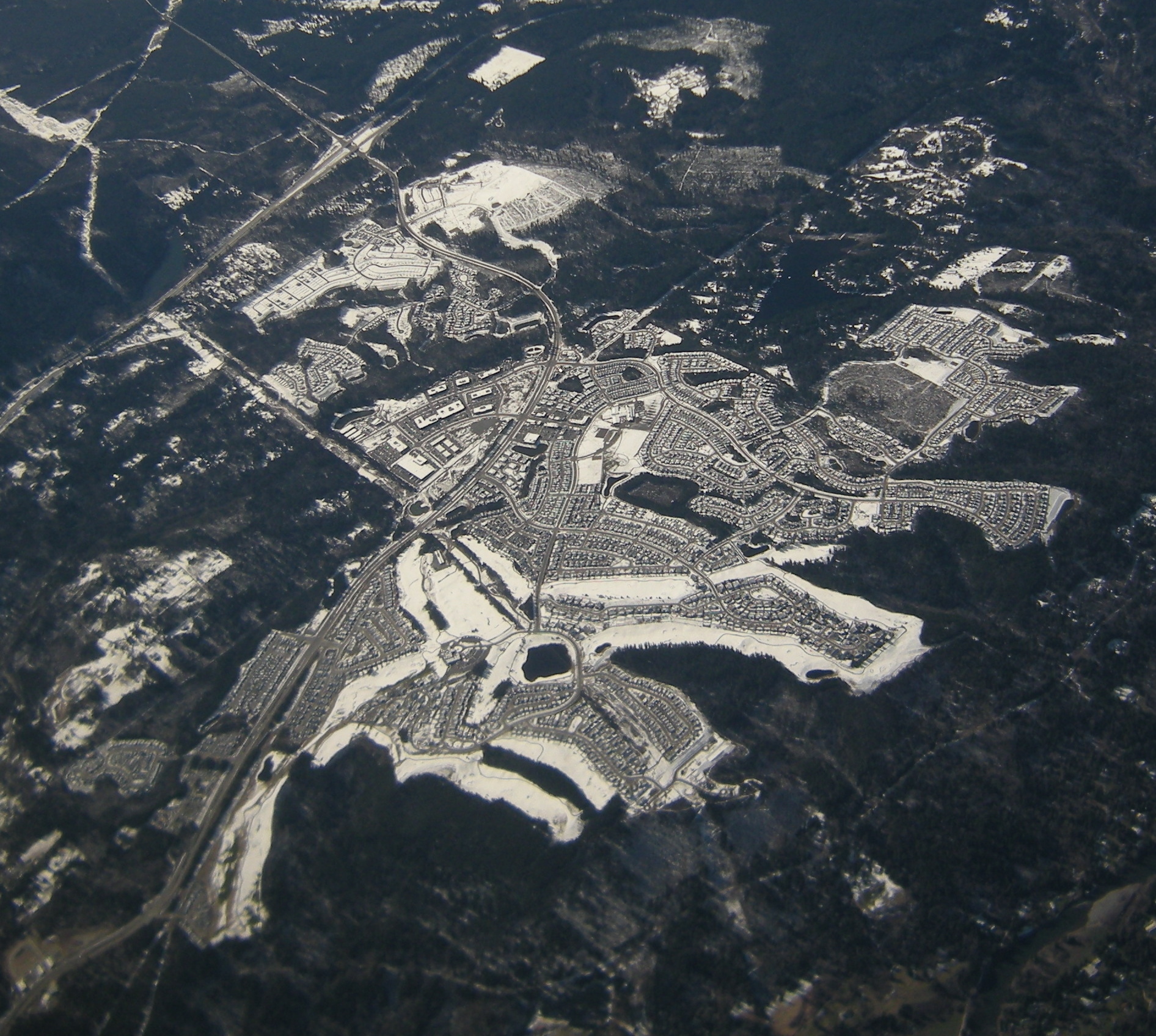
| Description |
Aerial photo of the Snoqualmie Ridge development, Snoqualmie, Washington, USA, with snow on the ground. Snoqualmie Ridge is a planned community. North is roughly at the lower right. |
| Date | |
| Source | Photo by Joe Mabel |
| Author | Joe Mabel |
|
Permission
( Reusing this file ) |
GFDL granted by photographer |
| Other versions | File:Snoqualmie Ridge aerial 01.jpg is raw. File:Snoqualmie Ridge aerial 01A.jpg is cropped. |
Licensing
Joe Mabel
, the copyright holder of this work, hereby publishes it under the following license:

|
Permission is granted to copy, distribute and/or modify this document under the terms of the GNU Free Documentation License , Version 1.2 or any later version published by the Free Software Foundation ; with no Invariant Sections, no Front-Cover Texts, and no Back-Cover Texts. A copy of the license is included in the section entitled GNU Free Documentation License . |
|
|
This file is licensed under the Creative Commons Attribution-Share Alike 3.0 Unported license. | |
| Attribution: Joe Mabel | ||
|
||
| This licensing tag was added to this file as part of the GFDL licensing update . |