Souk_ahras_topography.jpg

Size of this preview:
800 × 494 pixels
.
Other resolutions:
320 × 198 pixels
|
640 × 395 pixels
|
1,024 × 632 pixels
|
1,280 × 790 pixels
|
2,221 × 1,371 pixels
.
| Description |
English:
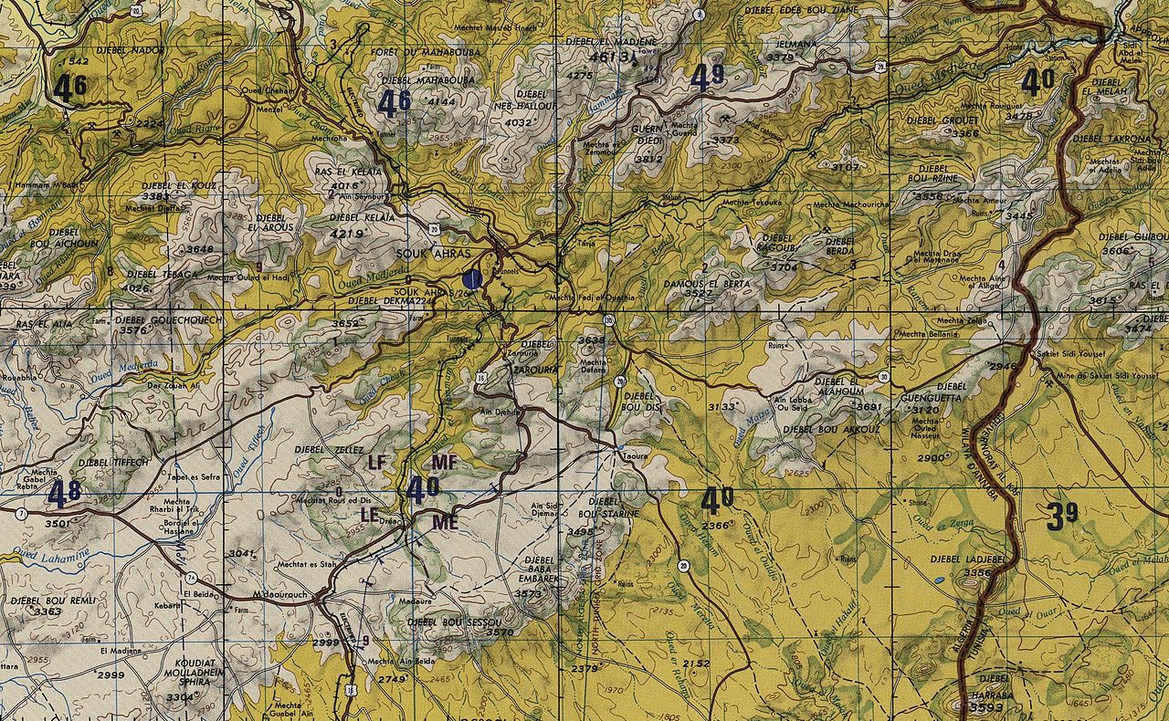
Souk Ahras topographic map
|
| Date | (UTC) |
| Source | |
| Author |
|
|
|
This is a
retouched picture
, which means that it has been digitally altered from its original version. Modifications:
crop
. The original can be viewed here:
Extrem north east algeria topographic map.jpg
:
|
|
|
This file is a work of a
U.S. Army
soldier or employee, taken or made as part of that person's official duties. As a
work
of the
U.S. federal government
, it is in the
public domain
in the United States.
|

|
Original upload log
This image is a derivative work of the following images:
-
File:Extrem_north_east_algeria_topographic_map.jpg
licensed with PD-USGov-Military-Army
- 2011-08-08T00:44:51Z Omar2788 5368x4519 (7712227 Bytes) {{Information |Description ={{en|1=north east algeria topographic map}} |Source =http://www.lib.utexas.edu/maps/jog/algeria_tunisia/txu-oclc-224106464-nj32-14.jpg |Author =unknown |Date =unknown |
Uploaded with derivativeFX