Speed_the_Plough_in_Amherst_County.jpg
Size of this preview:
800 × 532 pixels
.
Other resolutions:
320 × 213 pixels
|
640 × 426 pixels
|
1,024 × 681 pixels
|
1,280 × 851 pixels
|
2,560 × 1,702 pixels
|
6,016 × 4,000 pixels
.
|
|
This is an image of a place or building that is listed on the
National Register of Historic Places
in the
United States of America
. Its reference number is
07000391
.
|
| Camera location |
|
View this and other nearby images on: OpenStreetMap |
|
|---|
| Description |
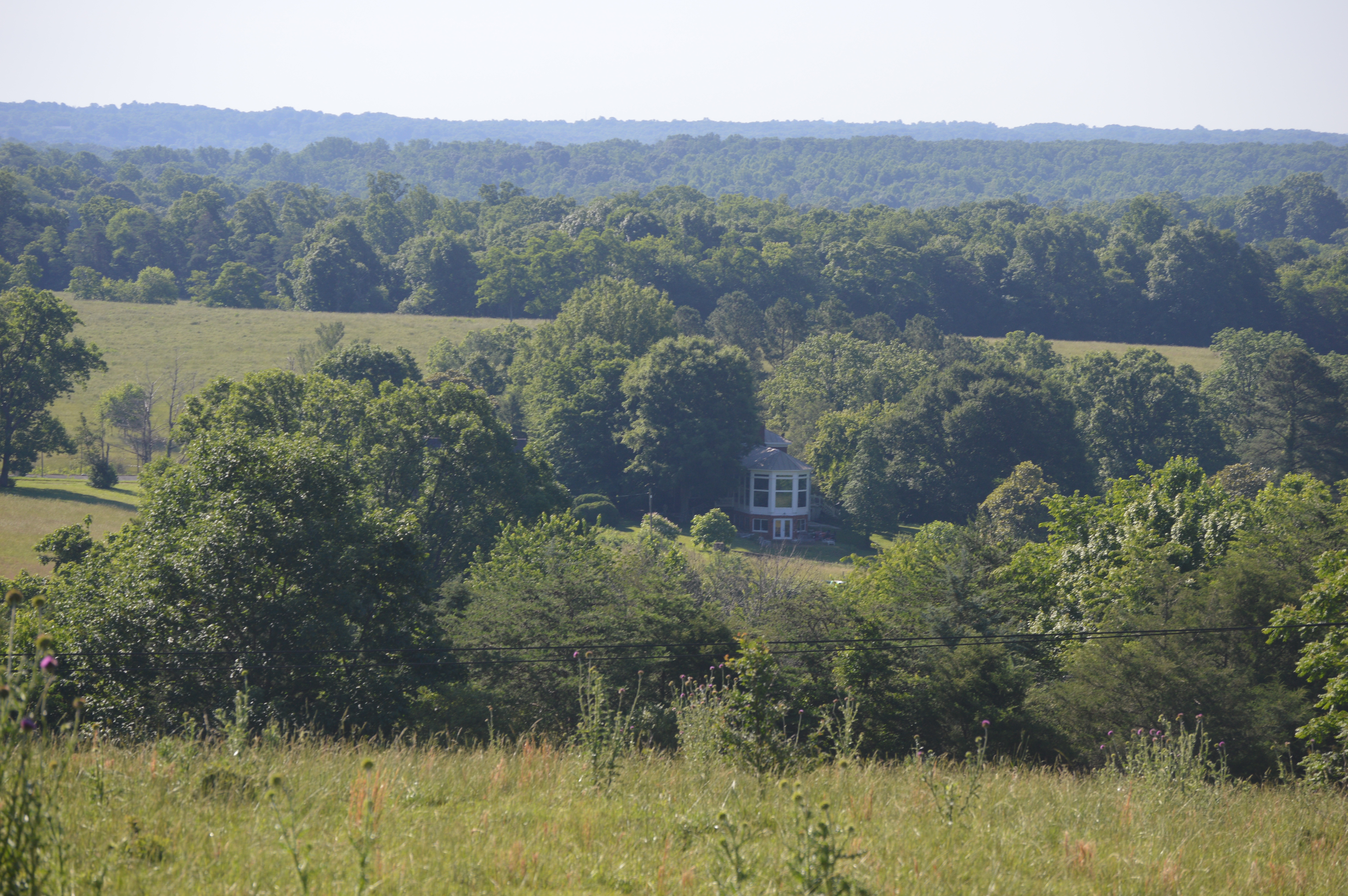
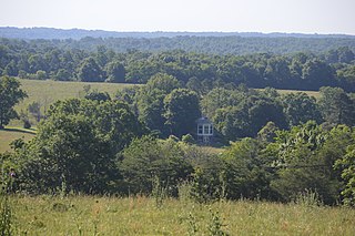
English:
Distant view from the northwest of the main house (built 1850) at the "
Speed the Plough
" farmstead, located at 389 Fair Lea Lane northwest of
Monroe
in
Amherst County
,
Virginia
,
United States
. The farmstead is listed on the
National Register of Historic Places
as a
historic district
.
|
||
| Date | Taken on 3 June 2017 | ||
| Source | Own work | ||
| Author | Nyttend | ||
|
Permission
( Reusing this file ) |
|