Tai_Po_Kau_Nature_Reserve_Waterfall_2013.jpg

Size of this preview:
800 × 533 pixels
.
Other resolutions:
320 × 213 pixels
|
640 × 427 pixels
|
1,024 × 683 pixels
|
1,280 × 853 pixels
|
2,560 × 1,707 pixels
|
4,200 × 2,800 pixels
.
Summary
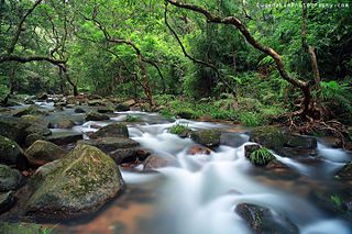
| Description | Tai Po, Hong Kong |
| Date | |
| Source | Tai Po Kau Nature Reserve |
| Author | Eugene Lim from Hong Kong |
| Camera location |
|
View this and other nearby images on: OpenStreetMap |
|
|---|
Licensing
This file is licensed under the
Creative Commons
Attribution 2.0 Generic
license.
-
You are free:
- to share – to copy, distribute and transmit the work
- to remix – to adapt the work
-
Under the following conditions:
- attribution – You must give appropriate credit, provide a link to the license, and indicate if changes were made. You may do so in any reasonable manner, but not in any way that suggests the licensor endorses you or your use.
|
|
This image was originally posted to Flickr by EugeneLimPhotography.com at https://flickr.com/photos/67046095@N03/9568069391 . It was reviewed on 14 July 2016 by FlickreviewR and was confirmed to be licensed under the terms of the cc-by-2.0. |