The_Town_Hall_on_New_Bridge_Street_(geograph_6442696)_(cropped).jpg
Size of this preview:
328 × 598 pixels
.
Other resolutions:
131 × 240 pixels
|
263 × 480 pixels
|
935 × 1,706 pixels
.
Summary
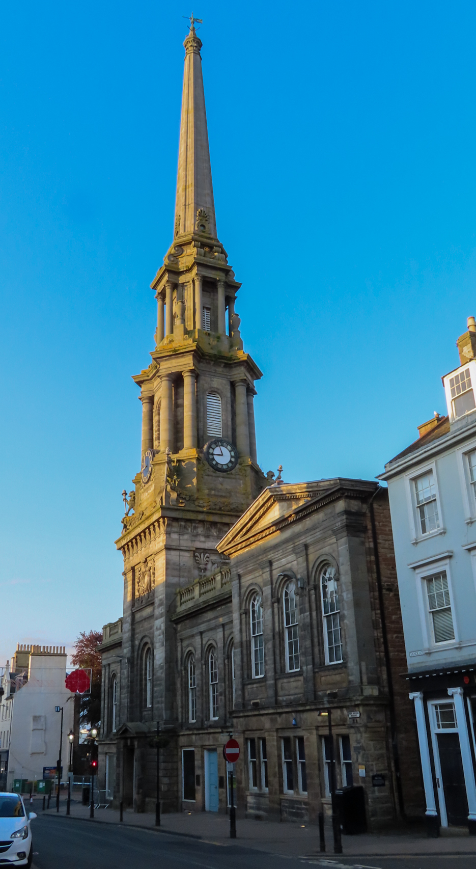
| Description | The Town Hall on New Bridge Street, Ayr |
| Date | |
| Source |
This file was derived from:
The Town Hall on New Bridge Street (geograph 6442696).jpg
|
| Author | Steve Daniels |
|
Permission
( Reusing this file ) |
This file is licensed under the
Creative Commons
Attribution-Share Alike 2.0 Generic
license.
Attribution:
Steve Daniels
|
|
Attribution
( required by the license ) |
Steve Daniels / The Town Hall on New Bridge Street / |
.jpg)
| Camera location |
|
View this and other nearby images on: OpenStreetMap |
|
|---|
_(cropped).jpg¶ms=055.464060_N_-004.632800_E_globe:Earth_type:camera_source:geograph-osgb36(NS33642206)_region:GB-SCT_heading:67.00&language=en)
| Object location |
|
View this and other nearby images on: OpenStreetMap |
|
|---|
_(cropped).jpg¶ms=055.464250_N_-004.632200_E_globe:Earth_class:object_type:object_source:geograph-osgb36(NS33682208)_region:GB-SCT_heading:67.00&language=en)
|
|
This is a
retouched picture
, which means that it has been digitally altered from its original version. Modifications:
cropped
. The original can be viewed here:
The Town Hall on New Bridge Street (geograph 6442696).jpg
:
|