Tila_en_Chiapas.svg

Size of this PNG preview of this SVG file:
600 × 600 pixels
.
Other resolutions:
240 × 240 pixels
|
480 × 480 pixels
|
768 × 768 pixels
|
1,024 × 1,024 pixels
|
2,048 × 2,048 pixels
|
1,300 × 1,300 pixels
.
Summary
| Description |
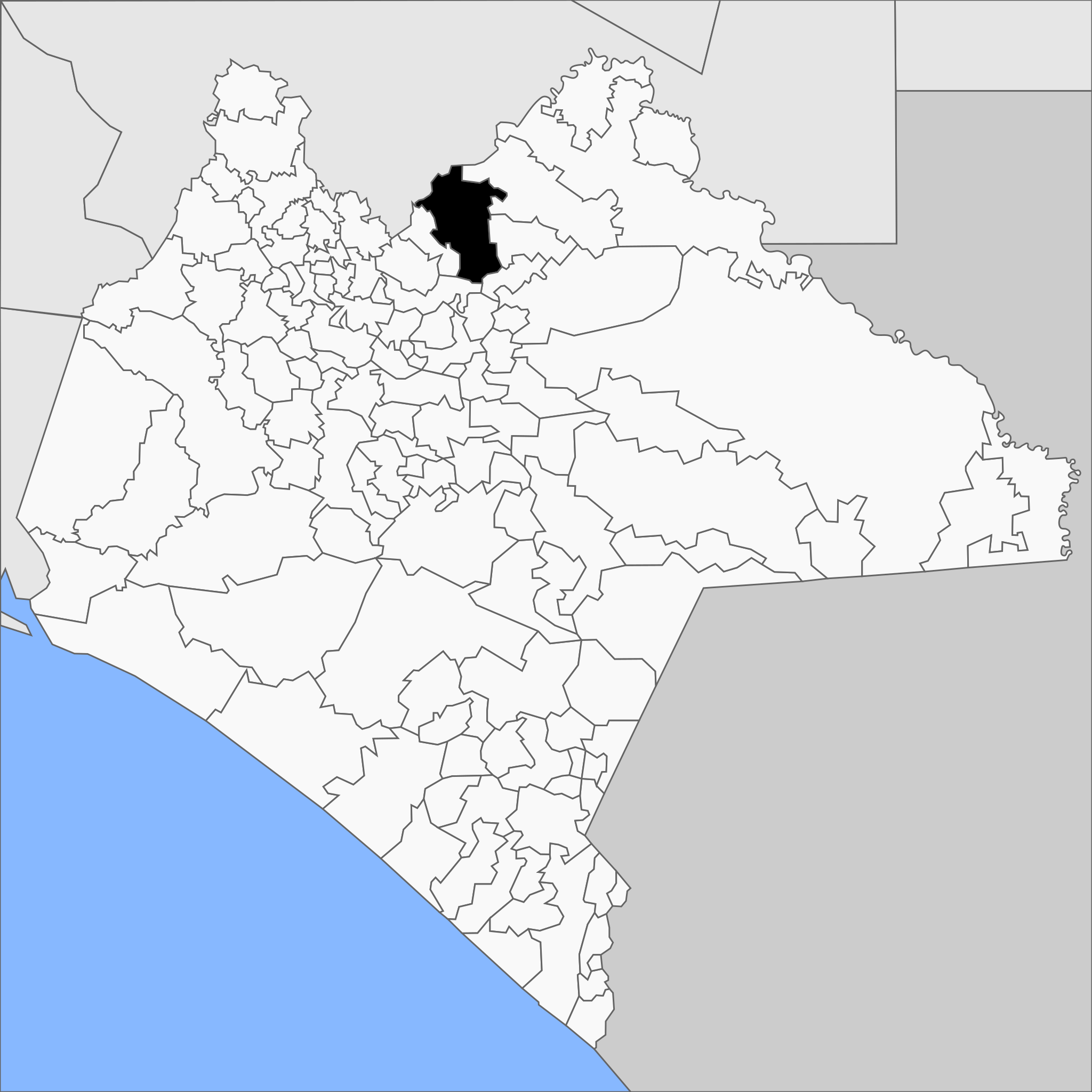
Español:
Mapa del municipio de Tila en el estado de Chiapas, México.
Русский:
Муниципалитет Тила на карте мексиканского штата Чьяпас.
English:
Map of the municipality of Tila the mexican state of Chiapas.
|
||
| Date | |||
| Source |
Own work
This
W3C-unspecified
vector image
was created with
Inkscape
.
|
||
| Author | MikSed | ||
|
Permission
( Reusing this file ) |
I, the copyright holder of this work, hereby publish it under the following license:
|
|
|
This is a
retouched picture
, which means that it has been digitally altered from its original version. The original can be viewed here:
Municipios de Chiapas (2020).svg
:
|
.svg)