Topographic30deg_N30E90.png

Size of this preview:
600 × 600 pixels
.
Other resolutions:
240 × 240 pixels
|
480 × 480 pixels
|
768 × 768 pixels
|
1,024 × 1,024 pixels
|
1,800 × 1,800 pixels
.
Summary
Español:
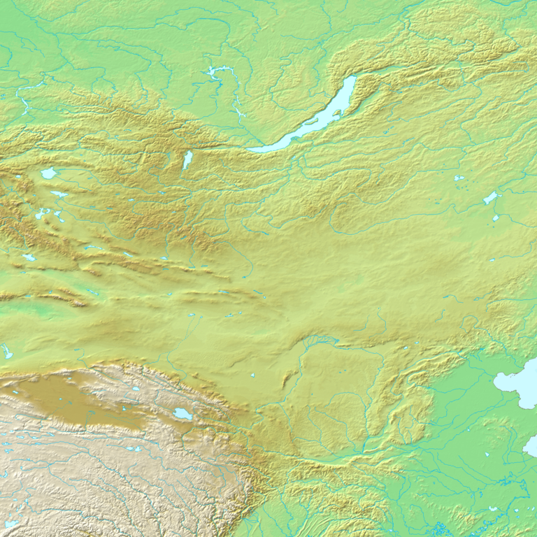
N30-60, E90-120
Topographic map 90deg, North latitude: 0 - 90, East longitude: 60 - 150
Topographic map 90deg, North latitude: 0 - 90, East longitude: 60 - 150
|
|
||||||||||||||||||||||||


Map created from DEMIS Mapserver [ dead link ] , which are public domain. Koba-chan

|
Permission is granted to copy, distribute and/or modify this document under the terms of the GNU Free Documentation License , Version 1.2 or any later version published by the Free Software Foundation ; with no Invariant Sections, no Front-Cover Texts, and no Back-Cover Texts. A copy of the license is included in the section entitled GNU Free Documentation License . |
|
|
This file is licensed under the Creative Commons Attribution-Share Alike 3.0 Unported license. | |
|
||
| This licensing tag was added to this file as part of the GFDL licensing update . |