Topographie_de_brest.jpg

Size of this preview:
600 × 600 pixels
.
Other resolutions:
240 × 240 pixels
|
480 × 480 pixels
|
768 × 768 pixels
|
1,024 × 1,024 pixels
|
1,280 × 1,280 pixels
.
| Description |
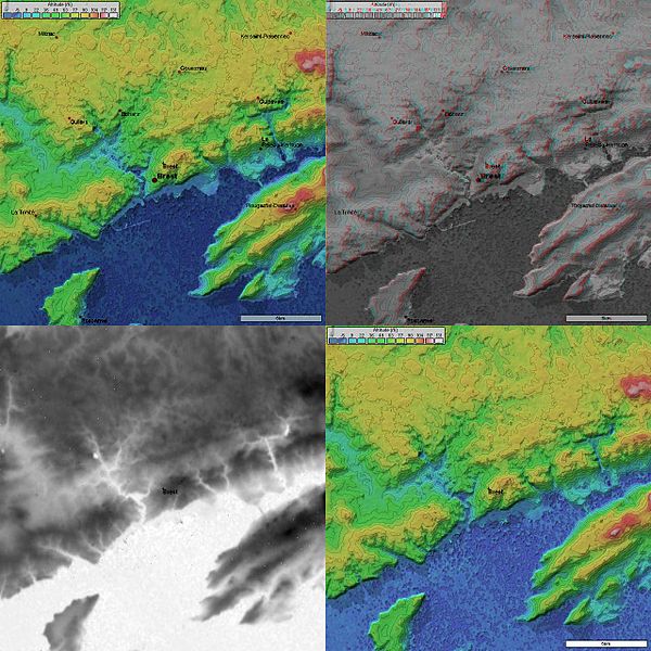
4 images topographique (20 km de coté) de Brest prises par la mission SRTM.
|
|||||
| Source | NASA | |||||
| Author | User NaSH on fr.wikipedia | |||||
|
Permission
( Reusing this file ) |
|
|||||
| Other versions |
Originally from fr.wikipedia ; description page is (was) here * 25 septembre 2004 à 18:26 [[:fr:User:NaSH|NaSH]] 1280×1280 (223 767 octets) |

(Uploaded using CommonsHelper or PushForCommons )