Trammulhouse.jpg

Size of this preview:
800 × 533 pixels
.
Other resolutions:
320 × 213 pixels
|
640 × 426 pixels
|
1,000 × 666 pixels
.
Summary
| Description |
Français :
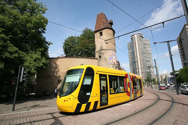
Tramway de mulhouse. Tour de l'Europe.
English:
Tramway in Mulhouse (France). Europa Tower
Deutsch:
Straßenbahn im Mulhouse. Europa Turm
Norsk bokmål:
Sporvogn i Mulhouse (Frankrike). Europatårn
Libres de Droits
|
| Source | Own work |
| Author | Jipéto |
| Other versions | Derivative works of this file: Mulhouseviews.png |
| Camera location |
|
View this and other nearby images on: OpenStreetMap |
|
|---|
Licensing
|
|
I, the copyright holder of this work, release this work into the
public domain
. This applies worldwide.
In some countries this may not be legally possible; if so: I grant anyone the right to use this work for any purpose , without any conditions, unless such conditions are required by law. |