Trewern_Hall_1.jpeg
Summary
| Description |
English:
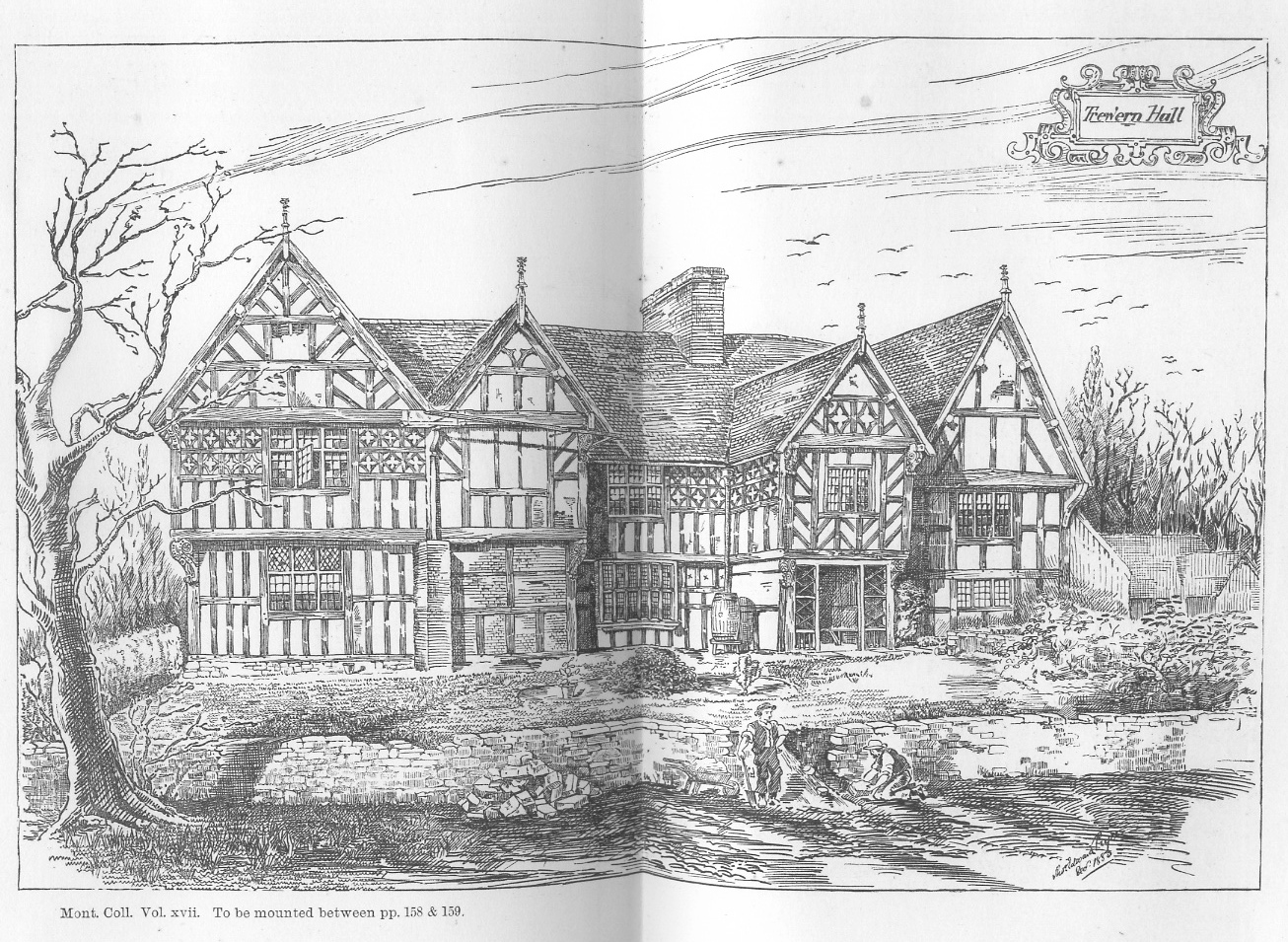
Trewern Hall or Trewern Farmhouse, Montgomeryshire
|
| Date | |
| Source | Print form Pryce, T E , (1884), Half timber houses of Montgomeryshire : Trewern Hall, The Montgomeryshire Collections:17 :157-61 |
| Author | T E Pryce |
| Camera location |
|
View this and other nearby images on: OpenStreetMap |
|
|---|
Trewern Hall or Trewern Farmhouse is a good example of a Severn Valley Half-timbered house situated in Montgomeryshire , Wales, close to the Shropshire border. It is in the Trewern community area of Powys, and is situated to the North of the A458 from Shrewsbury to Welshpool. The site is on a spur in the floodplain of the river Severn. The Hall is Grade II* and was occupied by the Lloyd, Francis and Whittaker families. In 1985-6 (SW end) and 1993-4 (NE end) it was extensively restored with some some remodelling by the architect M.J.Garner for Murray.Ll. Chapman.
Licensing
|
|
This work is in the public domain in its country of origin and other countries and areas where the copyright term is the author's life plus 70 years or fewer . This work is in the public domain in the United States because it was published (or registered with the U.S. Copyright Office ) before January 1, 1929. |
| This file has been identified as being free of known restrictions under copyright law, including all related and neighboring rights. | |