Turnberry_Sundown_-_geograph.org.uk_-_5274856.jpg
No higher resolution available.
Summary
| Description |
English:
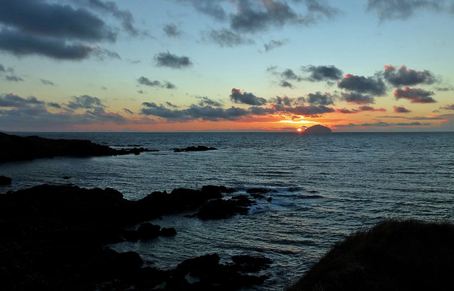
Turnberry Sundown.
I had been hopeful of a more striking sunset on this visit to Turnberry Point but a bank of low cloud over the horizon killed it off at the last minute. All the same, watching the sun going down on South Ayrshire's coast is always worth while.
|
| Date | |
| Source | https://www.geograph.org.uk/photo/5274856 |
| Author | Mary and Angus Hogg |
|
Attribution
( required by the license ) |
Mary and Angus Hogg / Turnberry Sundown / |
| Camera location |
|
View this and other nearby images on: OpenStreetMap |
|
|---|
_heading:225.00&language=en)
| Object location |
|
View this and other nearby images on: OpenStreetMap |
|
|---|
_heading:225.00&language=en)
Licensing

|
This image was taken from the
Geograph project
collection. See
this photograph's page
on the Geograph website for the photographer's contact details. The copyright on this image is owned by
Mary and Angus Hogg
and is licensed for reuse under the
Creative Commons
Attribution-ShareAlike 2.0 license.
|
This file is licensed under the
Creative Commons
Attribution-Share Alike 2.0 Generic
license.
Attribution:
Mary and Angus Hogg
-
You are free:
- to share – to copy, distribute and transmit the work
- to remix – to adapt the work
-
Under the following conditions:
- attribution – You must give appropriate credit, provide a link to the license, and indicate if changes were made. You may do so in any reasonable manner, but not in any way that suggests the licensor endorses you or your use.
- share alike – If you remix, transform, or build upon the material, you must distribute your contributions under the same or compatible license as the original.