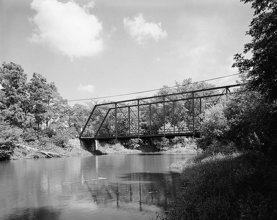
Turtleville_Iron_Bridge,_Spanning_Turtle_Creek,_on_Lathers_Road,_Beloit_vicinity_(Rock_County,_Wisconsin).jpg
Size of this preview:
754 × 600 pixels
.
Other resolutions:
302 × 240 pixels
|
604 × 480 pixels
|
942 × 749 pixels
.
| Description |
English:
Turtleville Iron Bridge, Spanning Turtle Creek, on Lathers Road, Beloit vicinity (Rock County, Wisconsin)
|
||||||
| Date | |||||||
| Source | http://memory.loc.gov/pnp/habshaer/wi/wi0100/wi0133/photos/171480pv.jpg (cropped) | ||||||
| Author | Jeff Dean, Photographer | ||||||
|
Permission
( Reusing this file ) |
|
.jpg¶ms=042.565556_N_-088.964444_E_globe:Earth_class:object_region:US_type:landmark_scale:1500_&language=en)