Txu-pclmaps-topo-us-newark-1947.jpg

Size of this preview:
407 × 599 pixels
.
Other resolutions:
163 × 240 pixels
|
326 × 480 pixels
|
846 × 1,246 pixels
.
Summary
| Description |
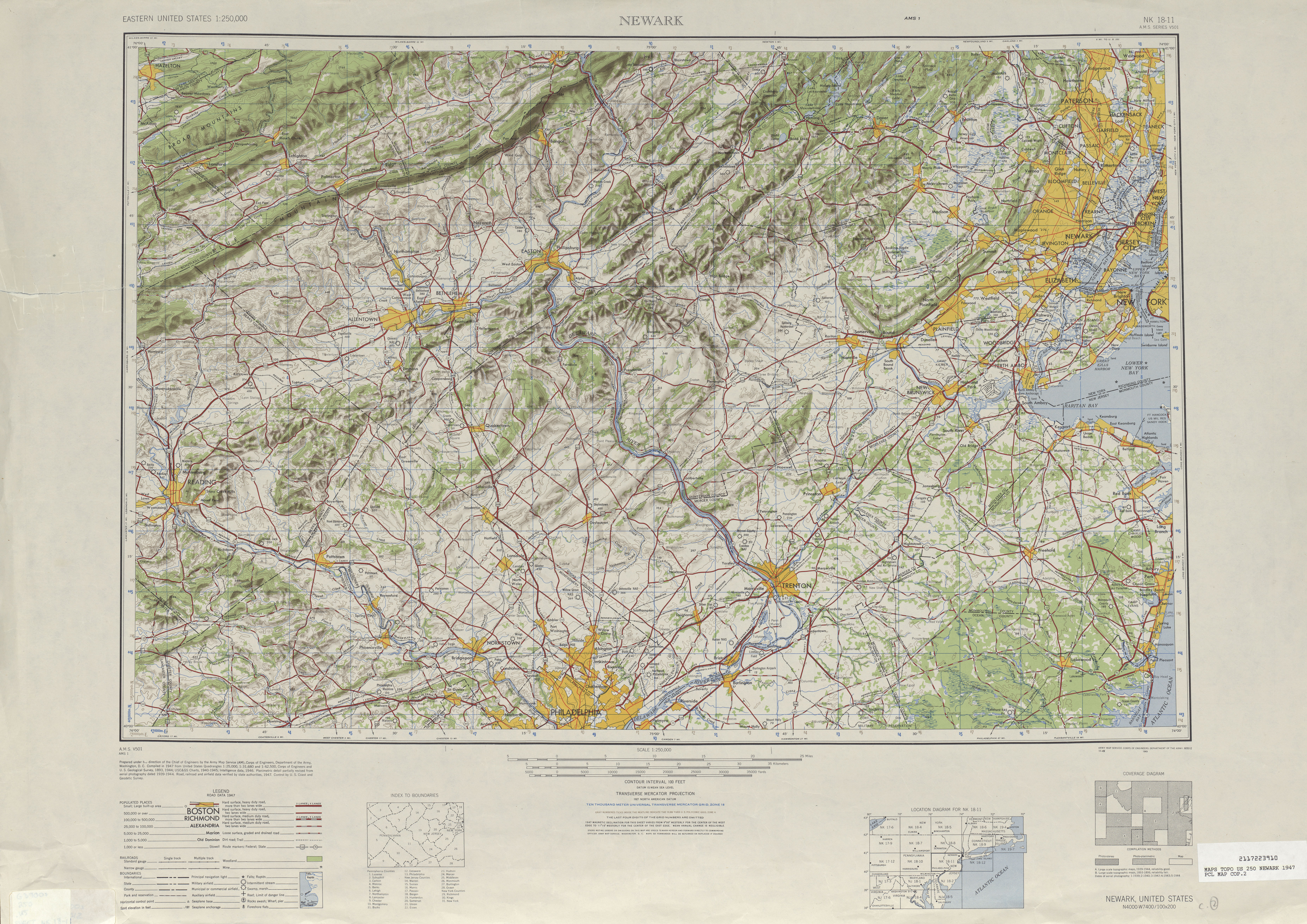
English:
The 1947 Newark Quadrangle Map detailing the former southernmost segment of PA 115 from
Brodheadsville
to
Easton, Pennsylvania
.
|
| Date | |
| Source | Cropped version of the 1947 Newark Quadrangle |
| Author | Army Map Services, Corps of Engineers, Department of the Army |
Licensing
|
|
This image or file is a work of a
U.S. Army Corps of Engineers
soldier or employee, taken or made as part of that person's official duties. As a
work
of the
U.S. federal government
, the image is in the
public domain
.
|
|
