Tyska_kyrkan_i_Göteborg,_den_12_september_2005-2.jpg

Size of this preview:
800 × 600 pixels
.
Other resolutions:
320 × 240 pixels
|
640 × 480 pixels
|
1,024 × 768 pixels
|
1,280 × 960 pixels
|
2,048 × 1,536 pixels
.
| Description |
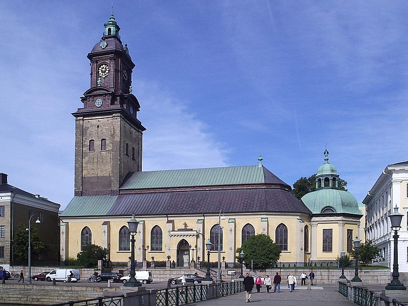
Tyska kyrkan i Göteborg, den 12 september 2005. Fotograferad av Harri Blomberg. Modification by Tobias Bär, June 2008. |
| Date | (UTC) |
| Source | |
| Author |
|
| Other versions |

|
| Camera location |
|
View this and other nearby images on: OpenStreetMap |
|
|---|
|
|
This is a
retouched picture
, which means that it has been digitally altered from its original version. Modifications:
perspective
. The original can be viewed here:
Tyska kyrkan i Göteborg, den 12 september 2005..JPG
:
|

|
Permission is granted to copy, distribute and/or modify this document under the terms of the GNU Free Documentation License , Version 1.2 or any later version published by the Free Software Foundation ; with no Invariant Sections, no Front-Cover Texts, and no Back-Cover Texts. A copy of the license is included in the section entitled GNU Free Documentation License . |
|
|
This file is licensed under the Creative Commons Attribution-Share Alike 3.0 Unported license. | |
|
||
| This licensing tag was added to this file as part of the GFDL licensing update . |
Original upload log
This image is a derivative work of the following images:
-
Image:Tyska_kyrkan_i_Göteborg,_den_12_september_2005..JPG
licensed with GFDL
- 2006-10-31T22:58:37Z Nicke L 2048x1536 (438315 Bytes) {{Information| |Description= Tyska kyrkan i Göteborg, den 12 september 2005. Fotograferad av Harri Blomberg. |Source= |Date= |Author=User [[:sv:User:Västgöten|Västgöten]] on [http://sv.wikipedia.org sv.wikipedia] |Permis
Uploaded with derivativeFX