UK_Falklands_comparison.svg

Size of this PNG preview of this SVG file:
542 × 600 pixels
.
Other resolutions:
217 × 240 pixels
|
434 × 480 pixels
|
694 × 768 pixels
|
925 × 1,024 pixels
|
1,851 × 2,048 pixels
|
1,240 × 1,372 pixels
.
Summary
| Description |
English:
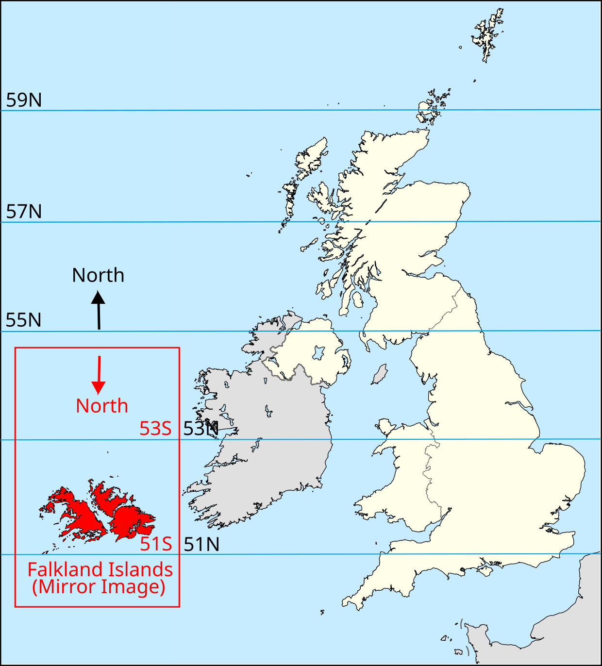
A mirror image of a map of the Falkland Islands superimposed on a map of the United Kingdom lining up 51°N with 51 and 53°N with 53°S thereby showing their relative sizes and latitudes
|
| Date | |
| Source | File:Falkland Islands location map.svg, File:United Kingdom location map.svg |
| Author | NordNordWest, |
Licensing
This file is licensed under the
Creative Commons
Attribution-Share Alike 3.0 Unported
license.
-
You are free:
- to share – to copy, distribute and transmit the work
- to remix – to adapt the work
-
Under the following conditions:
- attribution – You must give appropriate credit, provide a link to the license, and indicate if changes were made. You may do so in any reasonable manner, but not in any way that suggests the licensor endorses you or your use.
- share alike – If you remix, transform, or build upon the material, you must distribute your contributions under the same or compatible license as the original.