USGS_Rikers_Island.png

Size of this preview:
732 × 599 pixels
.
Other resolutions:
293 × 240 pixels
|
586 × 480 pixels
|
938 × 768 pixels
|
1,250 × 1,024 pixels
|
2,501 × 2,048 pixels
|
3,287 × 2,692 pixels
.
Summary
| Description | |
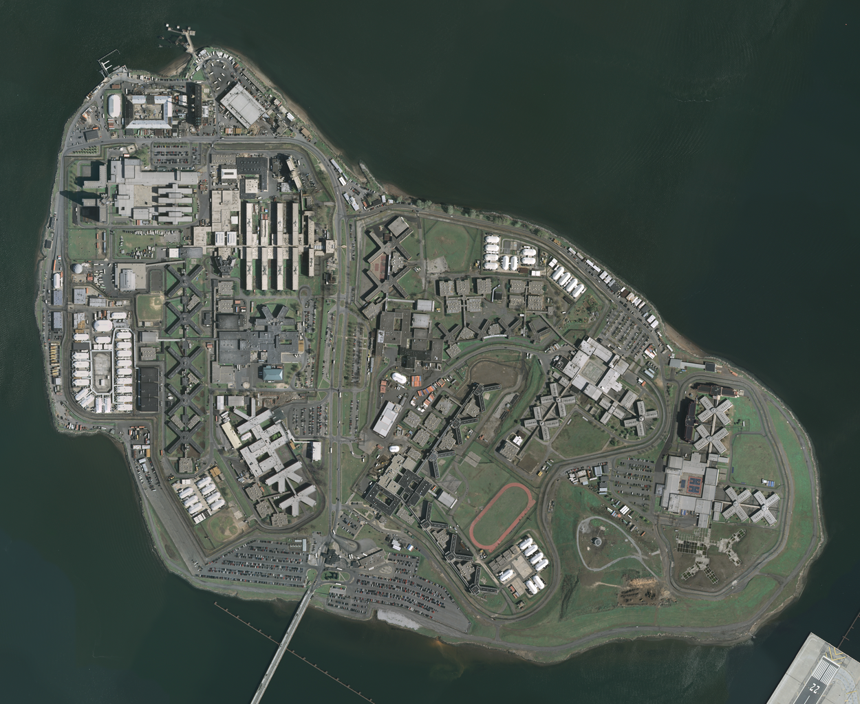
| Date | Acquired in march 2006; published by USGS in 2008; converted and uploaded to Commons on April 22, 2009. |
| Source |
The National Map
Seamless Server
, layer
New York City (Mar 2006)
, latitude 40.79930093 to 40.78455349, longitude -73.89361276 to -73.86990631.
Converted from GeoTIFF to PNG using GIMP . |
| Author | U.S. Geological Survey , conversion to PNG by uploader ( Herr Satz ). |
Licensing
|
|
This image is in the
public domain
in the United States because it only contains materials that originally came from the
United States Geological Survey
, an agency of the
United States Department of the Interior
. For more information, see
the official USGS copyright policy
.
|
|