Uganda_relief_map.svg

Size of this PNG preview of this SVG file:
589 × 599 pixels
.
Other resolutions:
236 × 240 pixels
|
472 × 480 pixels
|
755 × 768 pixels
|
1,007 × 1,024 pixels
|
2,013 × 2,048 pixels
|
1,441 × 1,466 pixels
.
Summary
| Description |
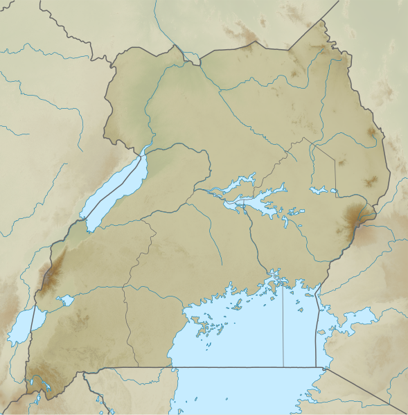
English:
Relief map of Uganda. Elevation data from STRM30, rivers from GSHHG.
|
| Date | |
| Source | Derivative of File:Uganda adm location map.svg |
| Author | Own work based on User:NordNordWest |
Licensing
This file is licensed under the
Creative Commons
Attribution-Share Alike 3.0 Unported
license.
-
You are free:
- to share – to copy, distribute and transmit the work
- to remix – to adapt the work
-
Under the following conditions:
- attribution – You must give appropriate credit, provide a link to the license, and indicate if changes were made. You may do so in any reasonable manner, but not in any way that suggests the licensor endorses you or your use.
- share alike – If you remix, transform, or build upon the material, you must distribute your contributions under the same or compatible license as the original.