United_States_Virgin_Islands_Saint_Croix_location_map.svg

Size of this PNG preview of this SVG file:
800 × 449 pixels
.
Other resolutions:
320 × 180 pixels
|
640 × 359 pixels
|
1,024 × 575 pixels
|
1,280 × 719 pixels
|
2,560 × 1,438 pixels
|
3,331 × 1,871 pixels
.
Summary
| Description |
English:
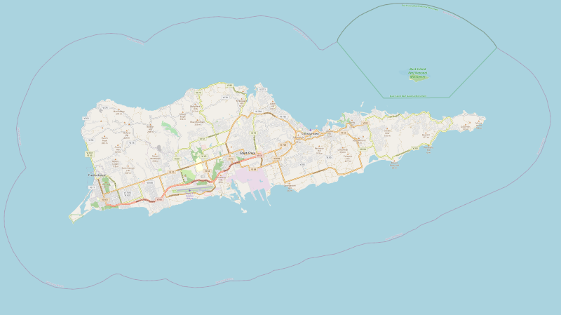
United States Virgin Islands Saint Croix location map with boundries of top=17.7964, left=-64.9182, right=-64.5502, bottom=17.6659
|
| Date | |
| Source | https://www.openstreetmap.org/export#map=12/17.7240/-64.7222&layers=H |
| Author | OpenStreetMap contributors |
| SVG development |
|

| Description |
SVG generated from openstreetmap.org export feature of Saint Croix.
This map of Saint Croix was created from
OpenStreetMap
project data, collected by the community.
This map may be incomplete, and may contain errors. Don't rely solely on it for navigation.
|
|||
| Date | ||||
| Source | You may find a page on the OpenStreetMap wiki page for Saint Croix | |||
| Creator |
OpenStreetMap contributors
|
|||
|
Permission
( Reusing this file ) |
OpenStreetMap data is available under the Open Database License ( details ). Map tiles are licensed under the Creative Commons Attribution-ShareAlike 2.0 license (CC-BY-SA 2.0).
This file is licensed under the
Creative Commons
Attribution-Share Alike 2.0 Generic
license.
|
|||
| Georeferencing | If inappropriate please set warp_status = skip to hide. |