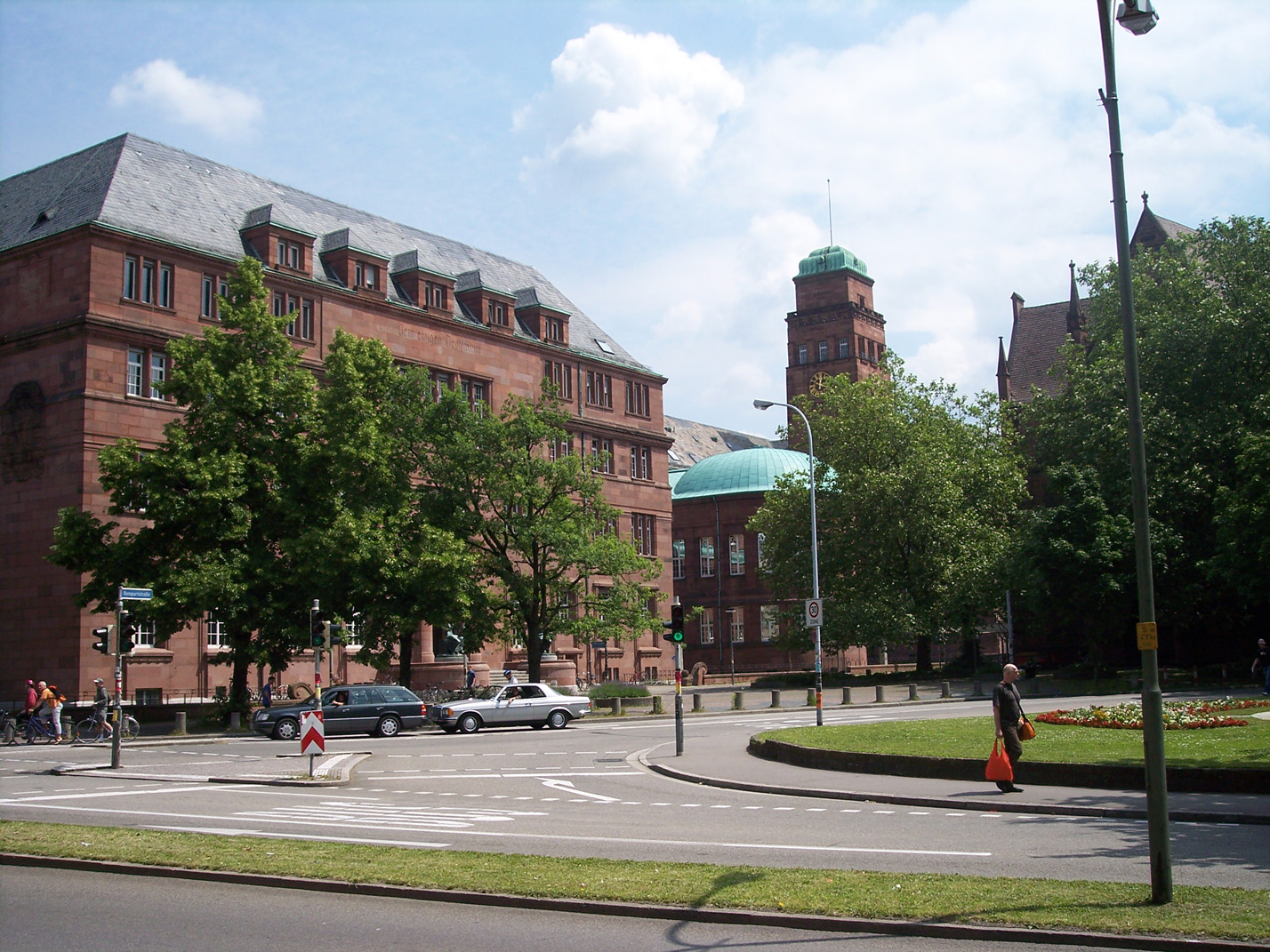
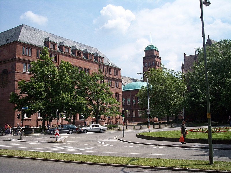
Universität_Freiburg_Kollegiengebäude_I_(Altbau).jpg
Size of this preview:
800 × 600 pixels
.
Other resolutions:
320 × 240 pixels
|
640 × 480 pixels
|
1,024 × 768 pixels
|
1,280 × 960 pixels
|
1,428 × 1,071 pixels
.
Summary
- de
| Camera location |
|
View this and other nearby images on: OpenStreetMap |
|
|---|
.jpg¶ms=047.993544_N_0007.845225_E_globe:Earth_type:camera_scale:781_type:landmark_region:DE_&language=en)
Licensing
|
|
I, the copyright holder of this work, release this work into the
public domain
. This applies worldwide.
In some countries this may not be legally possible; if so: I grant anyone the right to use this work for any purpose , without any conditions, unless such conditions are required by law. |