Uruguay_location_map_Topographic.png

Size of this preview:
571 × 599 pixels
.
Other resolutions:
229 × 240 pixels
|
457 × 480 pixels
|
732 × 768 pixels
|
976 × 1,024 pixels
|
2,128 × 2,233 pixels
.
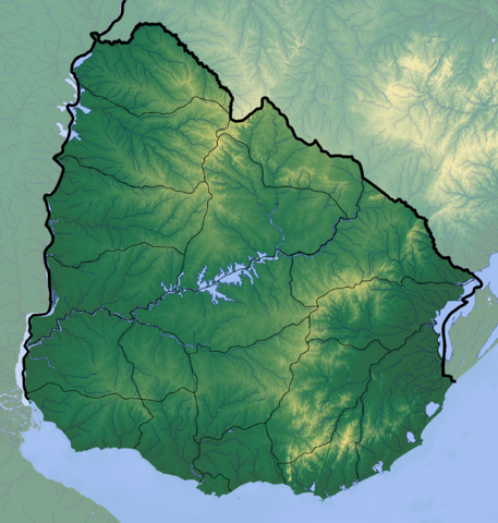
Summary
| Description |
Deutsch:
Positionskarte von
Uruguay
Quadratische Plattkarte, Geographische Begrenzung der Karte:
English:
Location map of
Uruguay
Equirectangular projection, Geographic limits of the map:
|
| Date | |
| Source |
Own work
|
| Author | Dr Brains |
Licensing
I, the copyright holder of this work, hereby publish it under the following license:

|
Permission is granted to copy, distribute and/or modify this document under the terms of the GNU Free Documentation License , Version 1.2 or any later version published by the Free Software Foundation ; with no Invariant Sections, no Front-Cover Texts, and no Back-Cover Texts. A copy of the license is included in the section entitled GNU Free Documentation License . |
|
|
If this file is
eligible for relicensing
, it may also be used under the
Creative Commons Attribution-ShareAlike 3.0
license.
The relicensing status of this image needs to be manually reviewed by an experienced user.
You can help
.
|
|