VA_9th_Congressional_District.png
No higher resolution available.
Summary
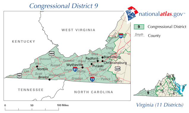
| Description | Map of Virginia's 9th congressional district. Downloaded from http://nationalatlas.gov/printable/images/preview/congdist/va09_109.gif and converted to PNG. |
| Date | 00:58:24(UTC) |
| Source | Downloaded from http://nationalatlas.gov/printable/images/preview/congdist/va09_109.gif and converted to PNG. |
| Author | Acntx |
Licensing
|
|
This map was obtained from an edition of the
National Atlas of the United States
. Like almost all works of the U.S. federal government, works from the
National Atlas
are in the
public domain
in the United States.
Online access: NationalAtlas.gov | 1970 print edition: Library of Congress , Perry-Castañeda Library
|
|
Original upload log
The original description page was
here
. All following user names refer to en.wikipedia.
Upload date | User | Bytes | Dimensions | Comment
- 2007-02-10 09:09:15 | Acntx | 81595 | 636×381 |