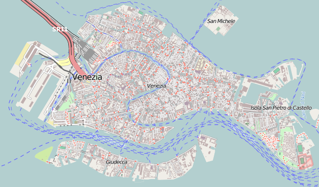
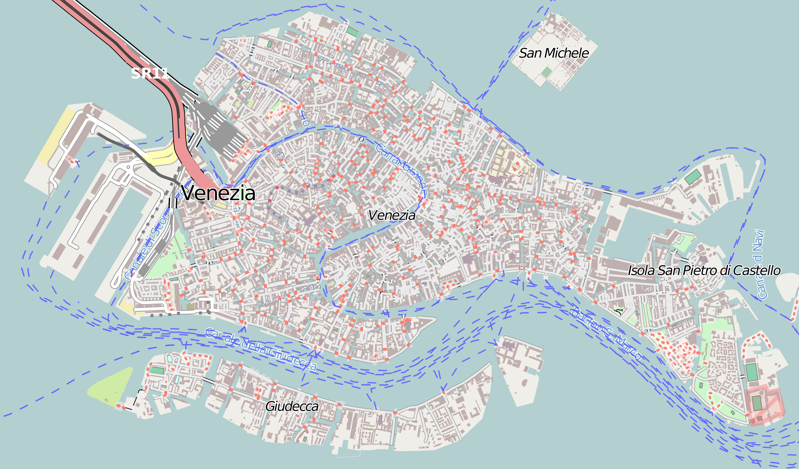
Venezia_location_map.svg

Size of this PNG preview of this SVG file:
675 × 396 pixels
.
Other resolutions:
320 × 188 pixels
|
640 × 375 pixels
|
1,024 × 601 pixels
|
1,280 × 751 pixels
|
2,560 × 1,502 pixels
.
Summary
| Camera location |
|
View this and other nearby images on: OpenStreetMap |
|
|---|
| Description |
Italiano:
Mappa di
Venezia
.
Français :
Carte de
Venise
, destinée à la géolocalisation.
Deutsch:
Karte der
Venedig
.
English:
Map of
Venice
, for geolocalisation purpose.
Español:
Mapa de
Venecia
.
日本語:
ヴェネツィア
の地図。
Português:
Carta de
Veneza
.
|
||
| Date | (UTC) | ||
| Source |
Création personnelle ; Données de la carte © les contributeurs d'OpenStreetMap, CC-BY-SA Openstreetmap directement téléchargées en SVG depuis la carte d'OSM ; |
||
| Author | © Bourrichon ( talk ) - fr:Bourrichon | ||
|
Permission
( Reusing this file ) |
|
This
W3C-unspecified
vector image
was created with
Inkscape
.
Licensing
I, the copyright holder of this work, hereby publish it under the following license:
This file is licensed under the
Creative Commons
Attribution-Share Alike 2.0 France
license.
Attribution:
Bourrichon
(
atelier graphique
)
-
You are free:
- to share – to copy, distribute and transmit the work
- to remix – to adapt the work
-
Under the following conditions:
- attribution – You must give appropriate credit, provide a link to the license, and indicate if changes were made. You may do so in any reasonable manner, but not in any way that suggests the licensor endorses you or your use.
- share alike – If you remix, transform, or build upon the material, you must distribute your contributions under the same or compatible license as the original.
