Watapur_district-2012.jpg
Size of this preview:
800 × 533 pixels
.
Other resolutions:
320 × 213 pixels
|
640 × 427 pixels
|
1,024 × 683 pixels
|
1,280 × 853 pixels
|
2,560 × 1,707 pixels
|
5,616 × 3,744 pixels
.
Summary
| Description |
English:
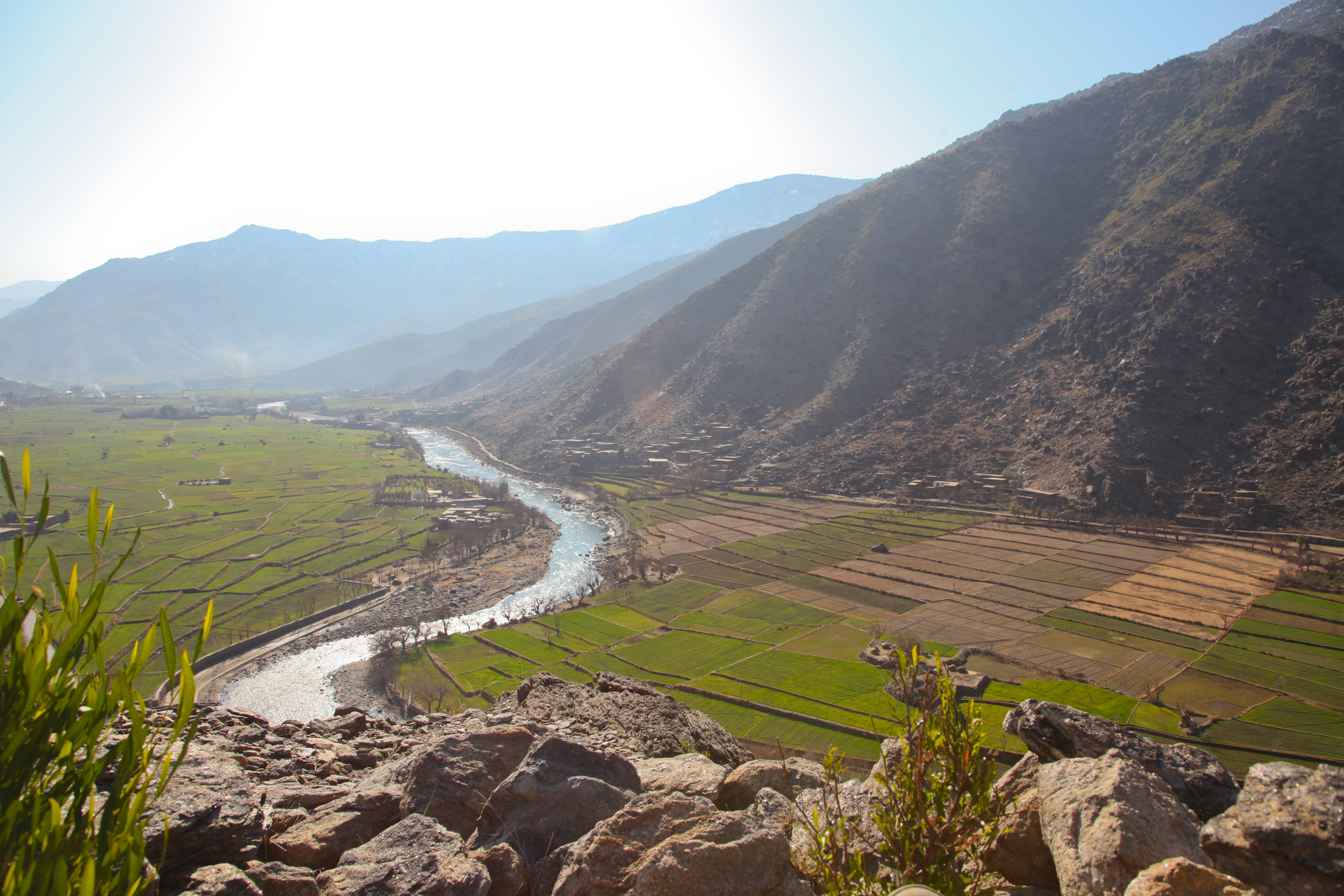
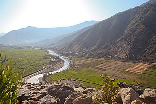
Overview of Watapur district, Kunar province, Afghanistan, Jan. 11, 2012. (Photo ID: 512066)
Deutsch:
Blick auf den Fluss Pech im Distrikt Watapur (Provinz Kunar in Afghanistan)
|
|||
| Date | ||||
| Source |
|
|||
| Author | Sgt. Trey Harvey (U.S. Armed Forces) |

| Camera location |
|
View this and other nearby images on: OpenStreetMap |
|
|---|
Licensing
|
|
This file is a work of a
U.S. Army
soldier or employee, taken or made as part of that person's official duties. As a
work
of the
U.S. federal government
, it is in the
public domain
in the United States.
|

|