West_Farms_IRT_stub_jeh.JPG

Size of this preview:
800 × 592 pixels
.
Other resolutions:
320 × 237 pixels
|
640 × 474 pixels
|
1,024 × 758 pixels
|
1,280 × 947 pixels
|
2,584 × 1,912 pixels
.
Summary
| Description |
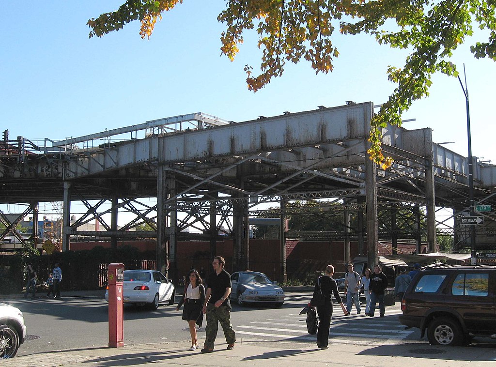
English:
Looking south down
Boston Road
at stub of IRT elevated line that formerly led to
180th Street–Bronx Park (IRT White Plains Road Line)
.
|
| Date | Taken on 11 October 2008 |
| Source | Own work |
| Author | Jim.henderson |
| Camera location |
|
View this and other nearby images on: OpenStreetMap |
|
|---|
Licensing
|
|
I, the copyright holder of this work, release this work into the
public domain
. This applies worldwide.
In some countries this may not be legally possible; if so: I grant anyone the right to use this work for any purpose , without any conditions, unless such conditions are required by law. |