Willis_Building_(London).jpg
Size of this preview:
295 × 600 pixels
.
Other resolutions:
118 × 240 pixels
|
236 × 480 pixels
|
377 × 768 pixels
|
503 × 1,024 pixels
|
1,007 × 2,048 pixels
|
2,930 × 5,958 pixels
.
Summary
| Description |
English:
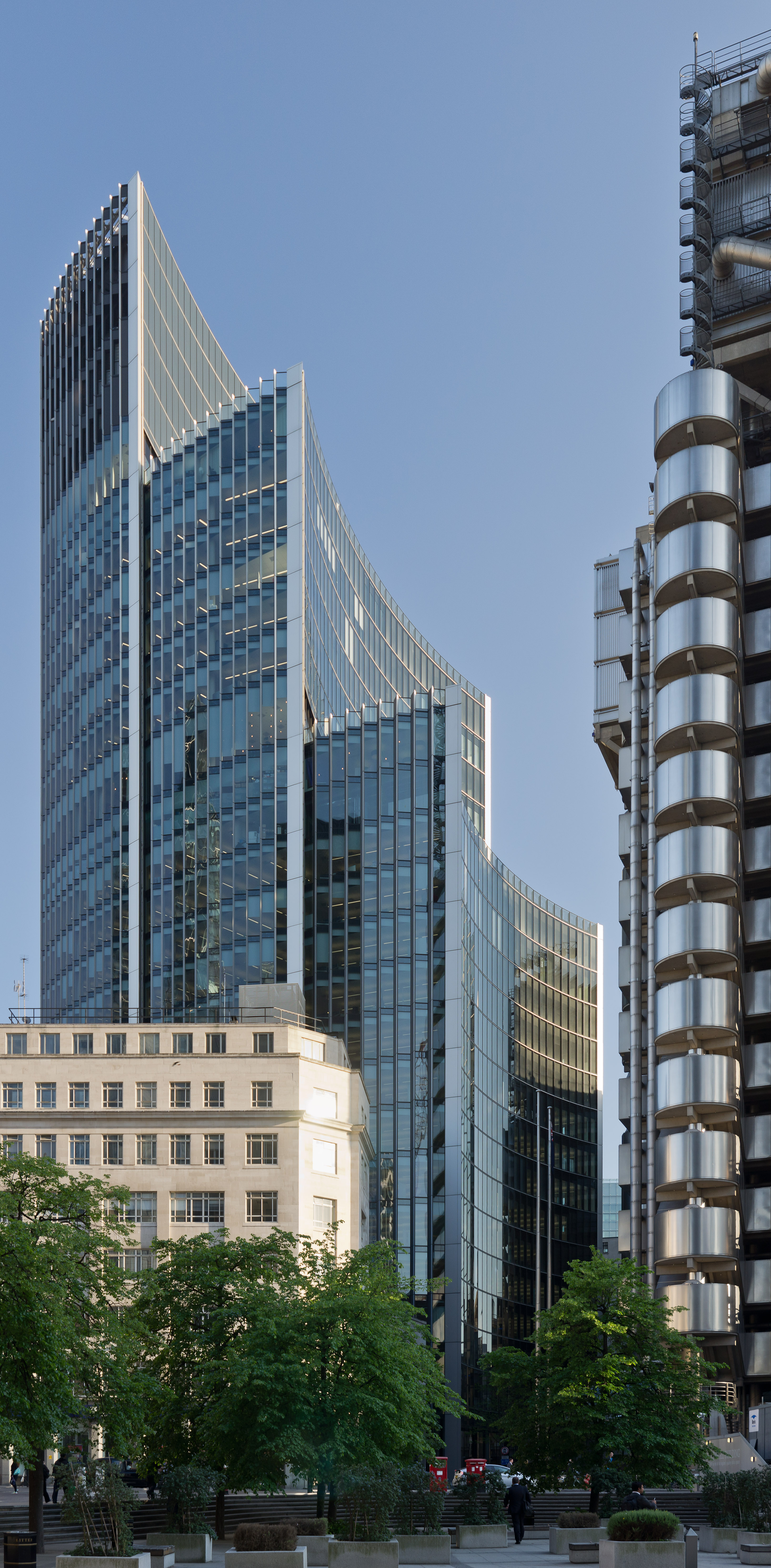
The
Willis Building
in the
City of London
. The edge of the
Lloyd's building
is on the right hand side. Photo taken from
St Mary Axe
.
This image is a vertical panorama of five originals. These were stitched together with Hugin, which also corrected the perspective. |
| Date | |
| Source | Own work |
| Author | Colin |
|
Attribution
( required by the license ) |
© User:Colin / Wikimedia Commons / |
| Camera location |
|
View this and other nearby images on: OpenStreetMap |
|
|---|
.jpg¶ms=051.513917_N_-000.081636_E_globe:Earth_type:camera_region:GB_heading:180.00&language=en)
Licensing
- Object
|
|
The photographic reproduction of this work is covered under United Kingdom law (
Section 62 of the Copyright, Designs and Patents Act 1988
), which states that it is not an infringement to take photographs of buildings, or of sculptures, models for buildings, or works of artistic craftsmanship permanently located in a public place or in premises open to the public. This does not apply to two-dimensional graphic works such as posters or murals. See
COM:CRT/United Kingdom#Freedom of panorama
for more information.
|
- Photograph
I, the copyright holder of this work, hereby publish it under the following licenses:
This file is licensed under the
Creative Commons
Attribution-Share Alike 3.0 Unported
license.
-
You are free:
- to share – to copy, distribute and transmit the work
- to remix – to adapt the work
-
Under the following conditions:
- attribution – You must give appropriate credit, provide a link to the license, and indicate if changes were made. You may do so in any reasonable manner, but not in any way that suggests the licensor endorses you or your use.
- share alike – If you remix, transform, or build upon the material, you must distribute your contributions under the same or compatible license as the original.

|
Permission is granted to copy, distribute and/or modify this document under the terms of the GNU Free Documentation License , Version 1.2 or any later version published by the Free Software Foundation ; with no Invariant Sections, no Front-Cover Texts, and no Back-Cover Texts. A copy of the license is included in the section entitled GNU Free Documentation License . |
You may select the license of your choice.
|
|
This image has been assessed using the
Quality image guidelines
and is considered a
Quality image
.
|