Wimbledon_map.jpg
Size of this preview:
514 × 599 pixels
.
Other resolutions:
206 × 240 pixels
|
412 × 480 pixels
|
659 × 768 pixels
|
879 × 1,024 pixels
|
2,218 × 2,585 pixels
.
Summary
| Description |
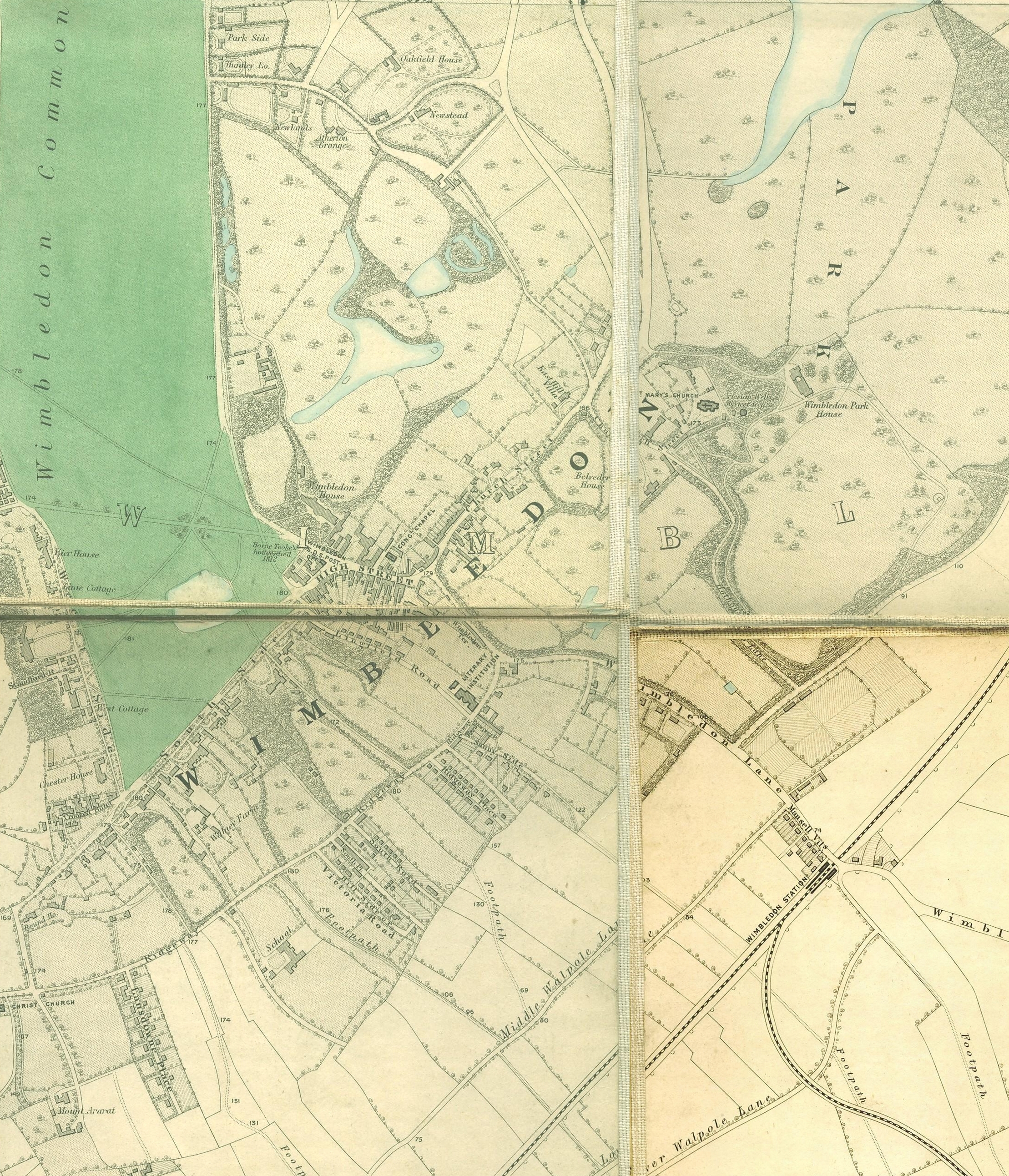
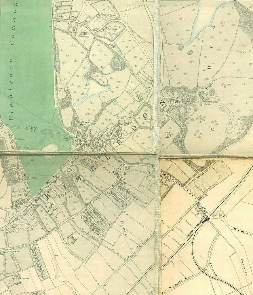
English:
Wimbledon section of
Edward Stanford
's map of London, 1862 - 1871
|
|||||||||||||||||||
| Date | between 1862 and 1871 | |||||||||||||||||||
| Source | http://www.mappalondon.com/london/south-west/maps.htm | |||||||||||||||||||
| Author |
|
|||||||||||||||||||
Licensing
|
|
This work is in the public domain in its country of origin and other countries and areas where the copyright term is the author's life plus 100 years or fewer . |
| This file has been identified as being free of known restrictions under copyright law, including all related and neighboring rights. | |