Windmill_D1_(Thornton_Bank).jpg
Size of this preview:
397 × 599 pixels
.
Other resolutions:
159 × 240 pixels
|
318 × 480 pixels
|
509 × 768 pixels
|
679 × 1,024 pixels
|
1,358 × 2,048 pixels
|
2,803 × 4,226 pixels
.
| Camera location |
|
View this and other nearby images on: OpenStreetMap |
|
|---|
.jpg¶ms=051.530928_N_0002.951167_E_globe:Earth_type:camera__&language=en)
| Photographer |
Hans Hillewaert
|
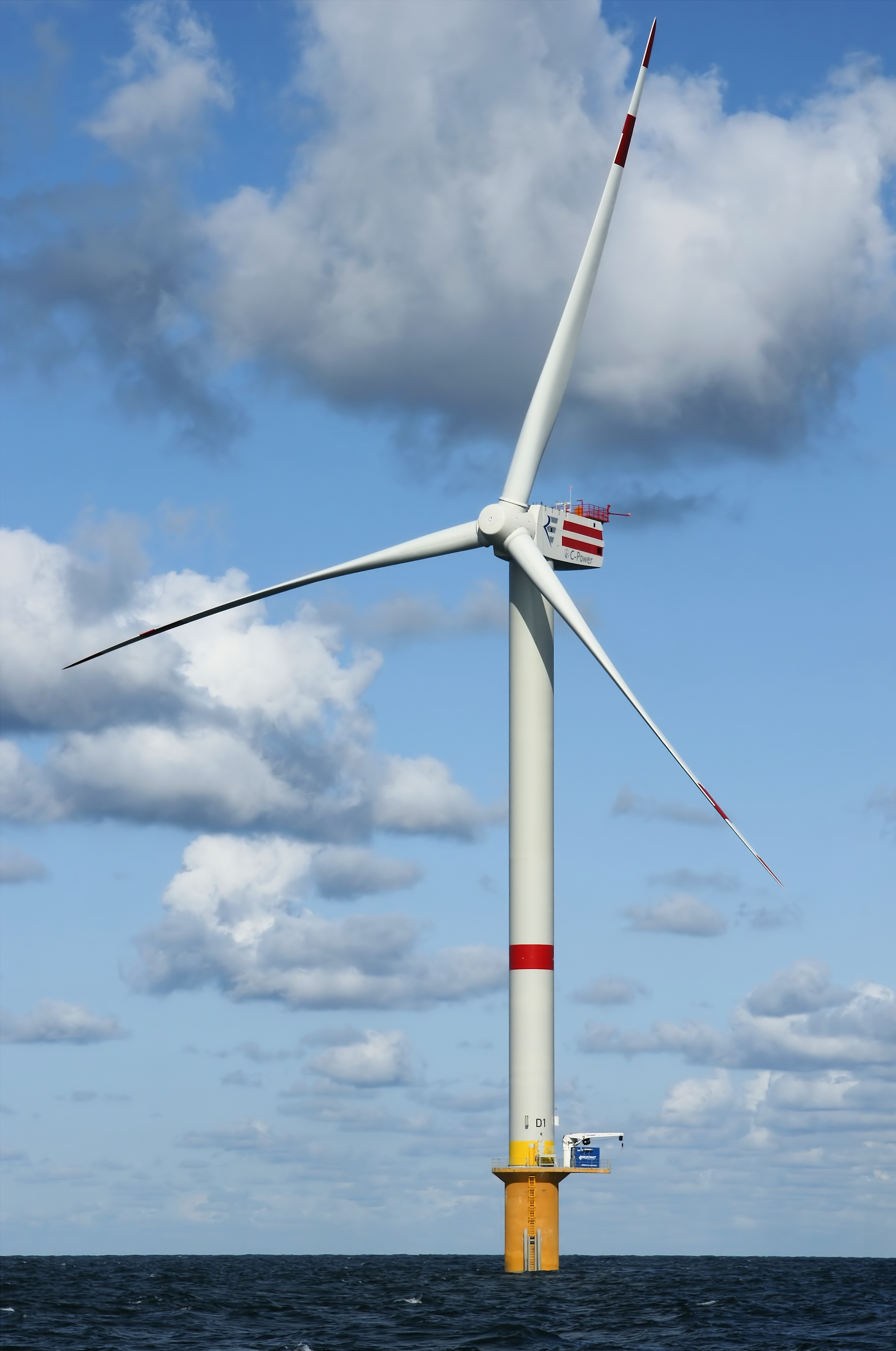
| Description |
English:
Newly constructed windmill D1 on the Thornton Bank, 28 km off shore, on the Belgian part of the North Sea.
The windmill is 157m (+TAW) high, 184m above the sea bottom.
|
| Date | 29 September 2008 |
| Source | Own work |
|
Permission
( Reusing this file ) |
This file is licensed under the
Creative Commons
Attribution-Share Alike 4.0 International
license.
Attribution:
© Hans Hillewaert
|
| Other licenses |
More (4100+) and new images on :
High resolution files on request. . |
|
Attribution
( required by the license ) |
© Hans Hillewaert / |
|
|
This image has been assessed using the
Quality image guidelines
and is considered a
Quality image
.
|