Woodsome_Hall.jpg
Size of this preview:
800 × 533 pixels
.
Other resolutions:
320 × 213 pixels
|
640 × 427 pixels
|
1,024 × 683 pixels
|
1,280 × 853 pixels
|
2,560 × 1,707 pixels
|
4,752 × 3,168 pixels
.
Summary
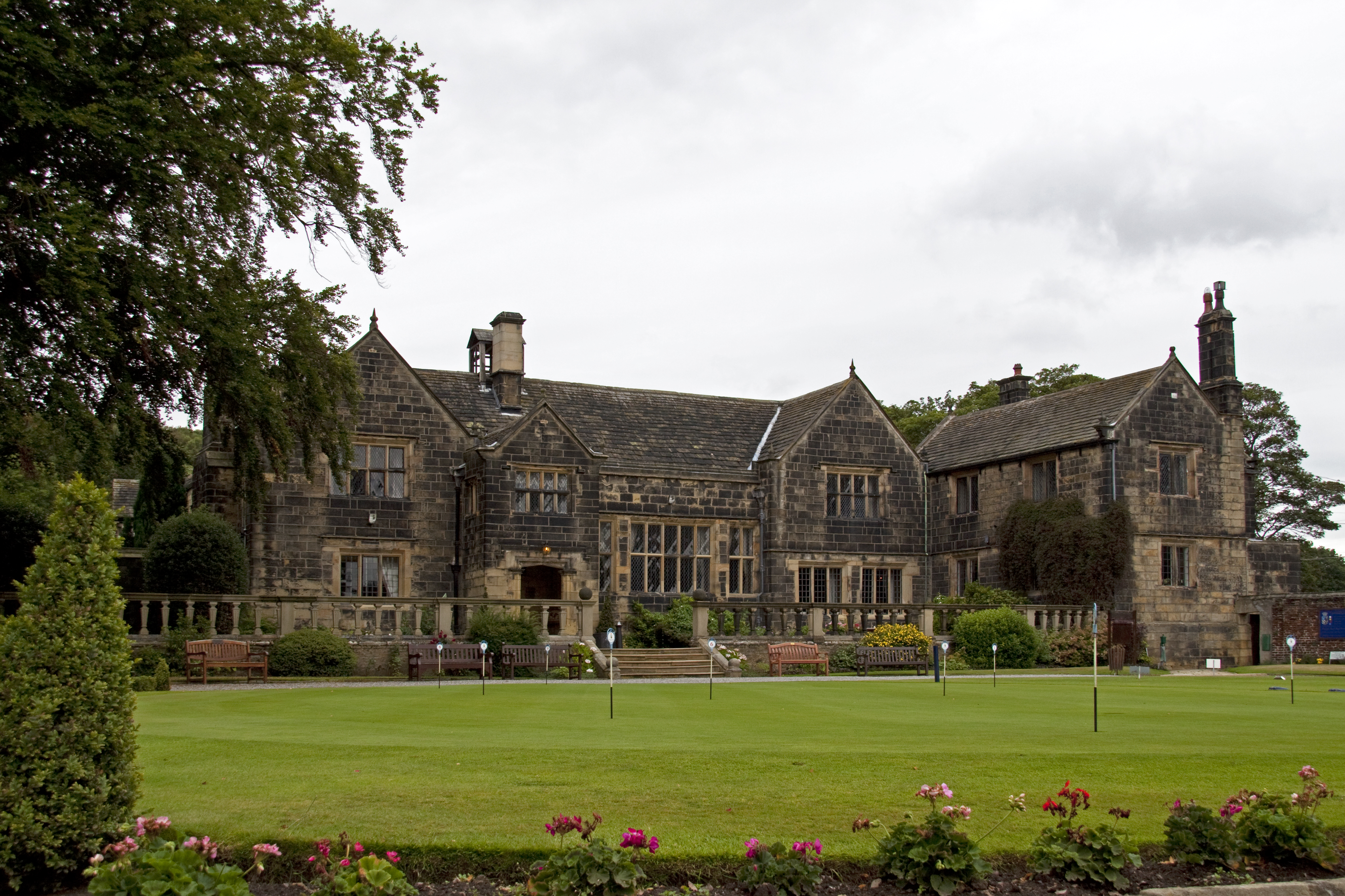
| Description | Built between the early 16th Century and the mid-17th century. The terrace was laid out in the mid 18th Century, by Capability Brown. Unfortunately the Hall and grounds are now a golf club. |
| Date | |
| Source |
|
| Author | Tony Hisgett from Birmingham, UK |
| Camera location |
|
View this and other nearby images on: OpenStreetMap |
|
|---|
Licensing
This file is licensed under the
Creative Commons
Attribution 2.0 Generic
license.
-
You are free:
- to share – to copy, distribute and transmit the work
- to remix – to adapt the work
-
Under the following conditions:
- attribution – You must give appropriate credit, provide a link to the license, and indicate if changes were made. You may do so in any reasonable manner, but not in any way that suggests the licensor endorses you or your use.
|
|
This image, originally posted to Flickr , was reviewed on August 29, 2010 by the administrator or reviewer File Upload Bot (Magnus Manske) , who confirmed that it was available on Flickr under the stated license on that date. |