Wpdms_usgs_photo_sacramento_delta_2.jpg
No higher resolution available.
| Description |
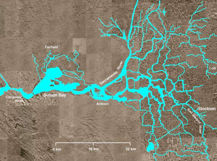
The Sacramento-San Joaquin River Delta of California - covering the right half of the map.
|
||||||||
| Date | |||||||||
| Source | http://en.wikipedia.org/wiki/Image:Wpdms_usgs_photo_sacramento_delta_2.jpg | ||||||||
| Author | Matthew Trump | ||||||||
|
Permission
( Reusing this file ) |
English Wikipedia
user
Decumanus
, the copyright holder of this work, hereby publishes it under the following license:
|
||||||||
| Other versions | Derivative works of this file: California Grizzly Bear walking in the Delta Region.jpg |

en:Sacramento-San Joaquin River Delta