Wrexham_Cathedral_(geograph_5518262_cropped).jpg
Size of this preview:
450 × 600 pixels
.
Other resolutions:
180 × 240 pixels
|
555 × 740 pixels
.
Summary
| Description |
Cymraeg:
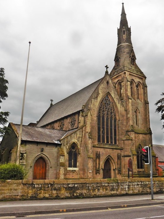
Eglwys Gadeiriol Wrecsam
English:
Wrexham Cathedral
|
| Date | |
| Source |
This file was derived from:
Wrexham Cathedral (geograph 5518262).jpg
|
| Author | Roger Cornfoot |
|
Permission
( Reusing this file ) |
Creative Commons Attribution Share-alike license 2.0 |
|
Attribution
( required by the license ) |
Roger Cornfoot / St Mary's Church, Wrexham / |
| Camera location |
|
View this and other nearby images on: OpenStreetMap |
|
|---|
| Object location |
|
View this and other nearby images on: OpenStreetMap |
|
|---|
.jpg)
.jpg¶ms=053.047480_N_-002.998053_E_globe:Earth_type:camera_source:geograph-osgb36(SJ33195049)_heading:247.00&language=en)
.jpg¶ms=053.047300_N_-002.998500_E_globe:Earth_class:object_type:object_source:geograph-osgb36(SJ33165047)_heading:247.00&language=en)
Licensing
This file is licensed under the
Creative Commons
Attribution-Share Alike 2.0 Generic
license.
Attribution:
Roger Cornfoot
-
You are free:
- to share – to copy, distribute and transmit the work
- to remix – to adapt the work
-
Under the following conditions:
- attribution – You must give appropriate credit, provide a link to the license, and indicate if changes were made. You may do so in any reasonable manner, but not in any way that suggests the licensor endorses you or your use.
- share alike – If you remix, transform, or build upon the material, you must distribute your contributions under the same or compatible license as the original.