XiongnuMap.png
Size of this preview:
800 × 467 pixels
.
Other resolutions:
320 × 187 pixels
|
640 × 373 pixels
|
1,024 × 597 pixels
|
1,644 × 959 pixels
.
Summary
| Description |
English:
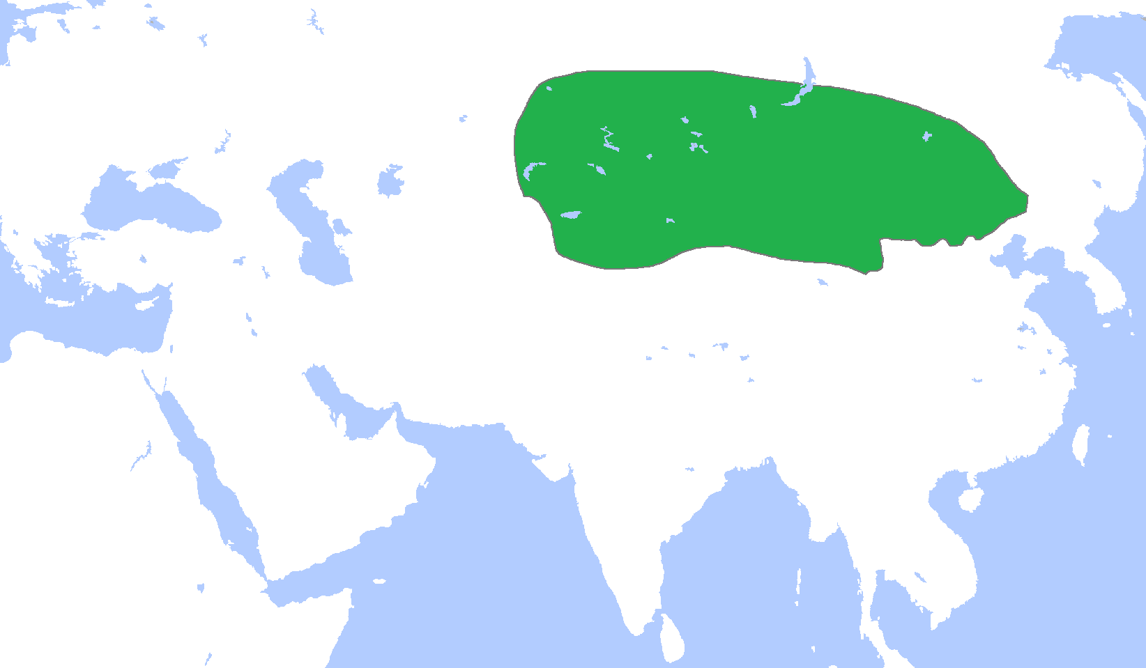
Locator map of Xiongnu, c. 250 BC.
(Partially based on
Atlas of World History
(2007) map.)
Deutsch:
Hunnenreich ca. 250 v. Chr.
|
||
| Date | |||
| Source | Own work | ||
| Author | Gabagool | ||
| Other versions |
|

Licensing
I, the copyright holder of this work, hereby publish it under the following license:
This file is licensed under the
Creative Commons
Attribution 3.0 Unported
license.
-
You are free:
- to share – to copy, distribute and transmit the work
- to remix – to adapt the work
-
Under the following conditions:
- attribution – You must give appropriate credit, provide a link to the license, and indicate if changes were made. You may do so in any reasonable manner, but not in any way that suggests the licensor endorses you or your use.