Zarit_incident_map.png

No higher resolution available.
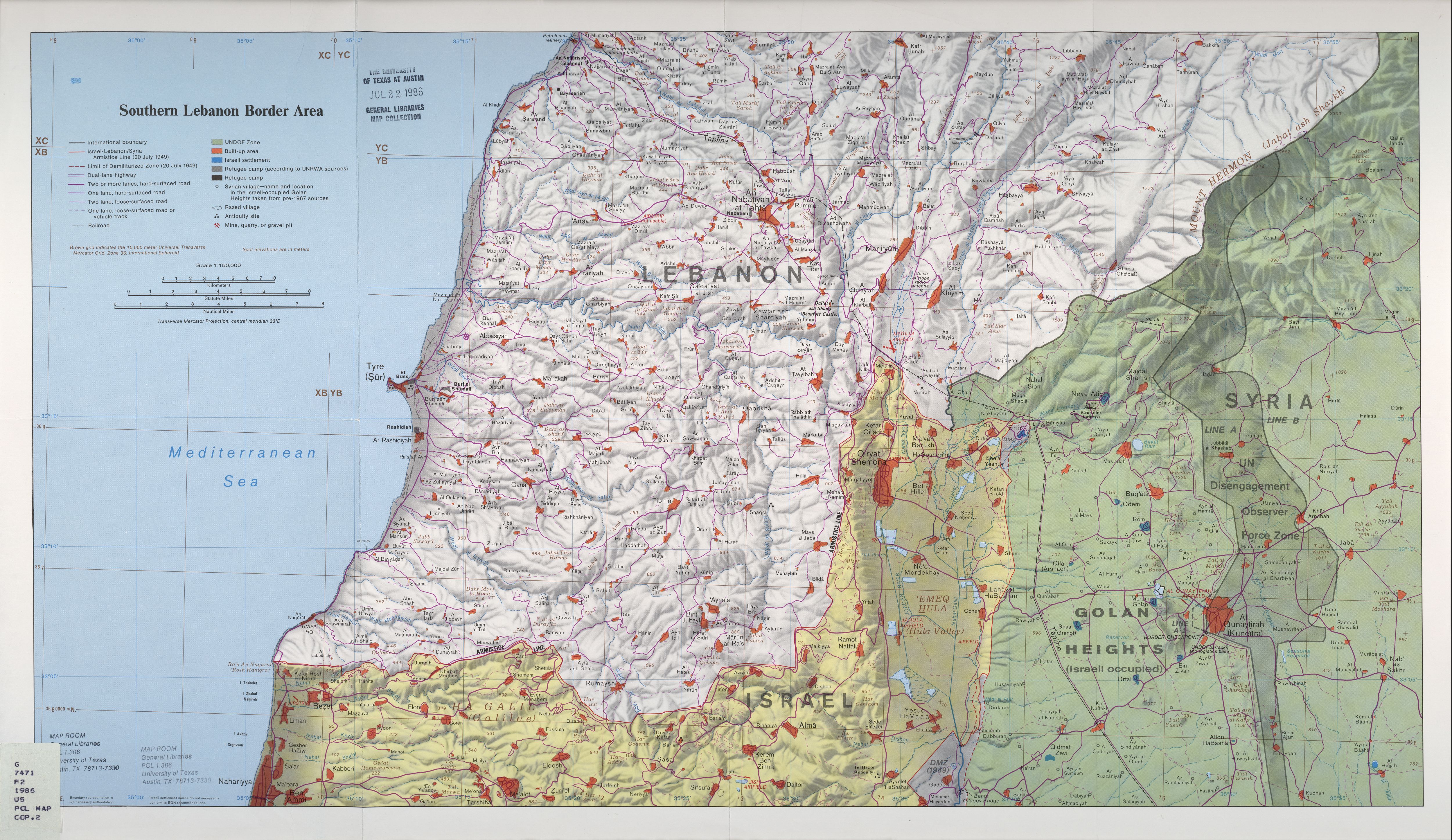
| Description | Map of Zar'it and vicinity illustrating the localities involved in the Zar'it-Ayta ash-Shab incident which sparked the 2006 Israel-Lebanon conflict . |
| Date | Incident happened on July 12 2006 . Upload August 17 2006 . |
| Source | Uploaded as en:Image:Zarit incident map.png . Based on http://www.lib.utexas.edu/maps/middle_east_and_asia/lebanon_southern_border_1986.jpg |
| Author | Original map is the work of the Central Intelligence Agency . Modifications by en:User:ChrisO . |
|
Permission
( Reusing this file ) |
PD |
|
|
This image is a work of a
Central Intelligence Agency
employee, taken or made as part of that person's official duties. As a Work of the United States Government, this image or media is in the
public domain
in the United States.
|

|