Đường_vào_Tam_Cốc_-_Ninh_Bình.JPG


Description
Tiếng Việt: 
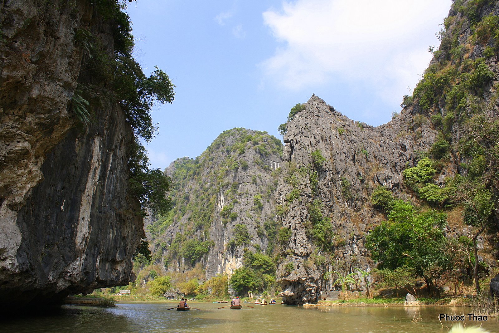
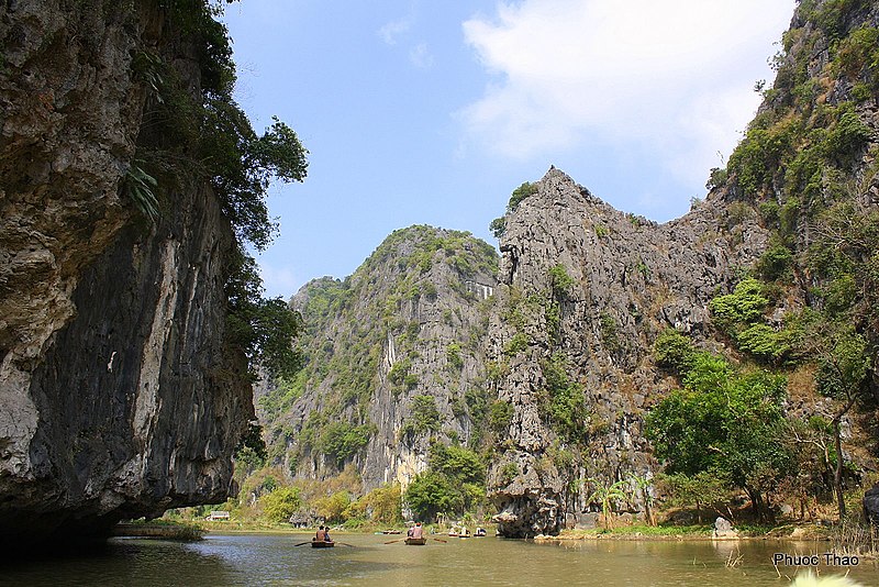
Đường vào Tam Cốc, đi thuyền trên sông Ngô Đồng, hai bên là những dãy núi đá vôi, được mệnh danh là Hạ Long trên cạn của Việt Nam
Date
Source vi:Tập tin:Đường vào Tam Cốc - Ninh Bình.JPG
Author vi:user:Thỏ nâu
Permission
( Reusing this file )
Vietnamese Wikipedia user Thỏ nâu , the copyright holder of this work, hereby publishes it under the following license:
GNU head Permission is granted to copy, distribute and/or modify this document under the terms of the GNU Free Documentation License , Version 1.2 or any later version published by the Free Software Foundation ; with no Invariant Sections, no Front-Cover Texts, and no Back-Cover Texts. A copy of the license is included in the section entitled GNU Free Documentation License .
w:en:Creative Commons
attribution share alike
This file is licensed under the Creative Commons Attribution-Share Alike 3.0 Unported license.
You are free:
  • to share – to copy, distribute and transmit the work
  • to remix – to adapt the work
Under the following conditions:
  • attribution – You must give appropriate credit, provide a link to the license, and indicate if changes were made. You may do so in any reasonable manner, but not in any way that suggests the licensor endorses you or your use.
  • share alike – If you remix, transform, or build upon the material, you must distribute your contributions under the same or compatible license as the original.

Captions

Add a one-line explanation of what this file represents

Items portrayed in this file

depicts

6 February 2009